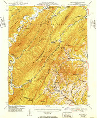
1949 Map of Millboro
USGS Topo · Published 1949About this map
The Cowpasture River and the Chesapeake and Ohio railroad corridor dictate the settlement patterns of this 1940s landscape, where industrial history meets traditional Appalachian communities. The presence of the Long Dale Furnace along Simpson Creek points to the region's earlier iron-making era, while the Rockbridge Alum Springs reflects a history of mineral springs tourism. These sites are connected through difficult terrain by infrastructure like the Mason Tunnel and Lick Run Tunnel, which pierce the ridges of the George Washington National Forest. Small village centers such as Millboro and Collierstown serve as anchors for a network of country institutions, including Calvary Ch and Effinger Sch. Family history is preserved in local landmarks like the Bratton Cem and the The Pines Cem, which stand near the convergence of numerous mountain creeks.
Find a feature on this map
85 named features on this map. Tap any name to fly to it.
Don’t see what you’re looking for? This feature index may not catch every label — zoom into the map to look around manually.
Map Details
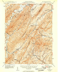
Editions of this 1949 Millboro Map
2 editions found
Other maps of this area

1894 · Staunton
USGS Topo · 1:125,000

1894 · Natural Bridge
USGS Topo · 1:125,000

1894 · Lexington
USGS Topo · 1:125,000

1894 · Natural Bridge
USGS Topo · 1:62,500

1901 · Monterey
USGS Topo · 1:125,000

1907 · Natural Bridge Special
USGS Topo · 1:62,500

1913 · Eagle Rock
USGS Topo · 1:48,000

1915 · Eagle Rock
USGS Topo · 1:62,500

1923 · Warm Springs
USGS Topo · 1:48,000

1926 · Warm Springs
USGS Topo · 1:62,500