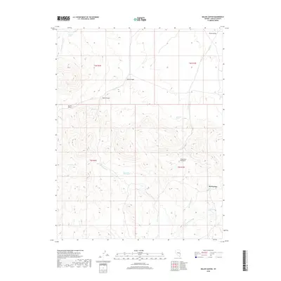
2018 Map of Miller Canyon
USGS Topo · Published 2018About this map
Mud Springs and the eastern slopes of the White Rock Mountains define this high-elevation landscape in Lincoln County. This 2018 survey reveals a terrain defined by its water sources, where the availability of springs determined the viability of travel and habitation in the arid Hamlin Valley region. The drainage patterns of Cobb Cr and the Mud Springs Wash indicate a complex hydrological network that cuts through the prominent Miller Canyon and Coyote Canyon.
Find a feature on this map
24 named features on this map. Tap any name to fly to it.
Don’t see what you’re looking for? This feature index may not catch every label — zoom into the map to look around manually.
Map Details
Editions of this 2018 Miller Canyon Map
This is the sole edition of this map. No revisions or reprints were ever made.
Other maps of this area

1956 · Lund
USGS Topo · 1:250,000

1960 · Lund
USGS Topo · 1:250,000

1970 · Parsnip Peak
USGS Topo · 1:24,000

1972 · Gleason Basin
USGS Topo · 1:24,000

1972 · Rosencrans Knolls
USGS Topo · 1:24,000

1972 · Hamlin Well
USGS Topo · 1:24,000

1972 · White Rock Peak
USGS Topo · 1:24,000

1972 · Buck Wash Well
USGS Topo · 1:24,000

1972 · Miller Canyon
USGS Topo · 1:24,000

1973 · Atlanta
USGS Topo · 1:24,000