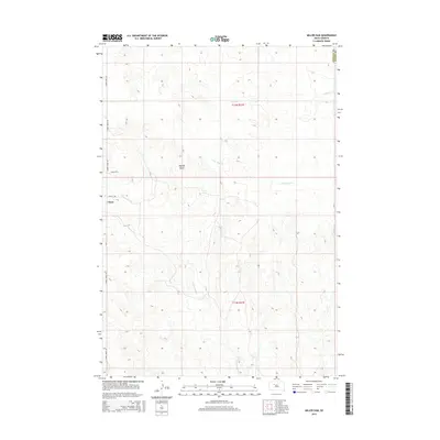
2015 Map of Miller Dam
USGS Topo · Published 2015About this map
Marple Butte stands as a prominent landmark in this segment of the West River prairie near the border of Ziebach and Dewey counties. The landscape is defined by the drainages of Little Bear Cr and Cottonwood Cr, which carve through the open range toward the eponymous Miller Dam. This area reflects the sparse settlement patterns typical of the Cheyenne River Reservation region, where small community hubs like Chase are connected by a grid of rural routes such as Cherry Creek Rd and Olsen Ave. The map illustrates a high-plains environment where water management and topography dictate the placement of ranching infrastructure and remote dwellings across the T11N and T12N R21E townships.
Find a feature on this map
12 named features on this map. Tap any name to fly to it.
Don’t see what you’re looking for? This feature index may not catch every label — zoom into the map to look around manually.
Map Details
Editions of this 2015 Miller Dam Map
This is the sole edition of this map. No revisions or reprints were ever made.
Other maps of this area

1953 · McIntosh
USGS Topo · 1:250,000

1954 · Pierre
USGS Topo · 1:250,000

1958 · Pierre
USGS Topo · 1:250,000

1958 · McIntosh
USGS Topo · 1:250,000

1979 · Dupree
USGS Topo · 1:25,000

1981 · Lantry
USGS Topo · 1:24,000

1981 · High Elk Hill NW
USGS Topo · 1:24,000

1981 · High Elk Hill SW
USGS Topo · 1:24,000

1982 · Miller Dam
USGS Topo · 1:24,000

1982 · Longbrake Ranch
USGS Topo · 1:24,000