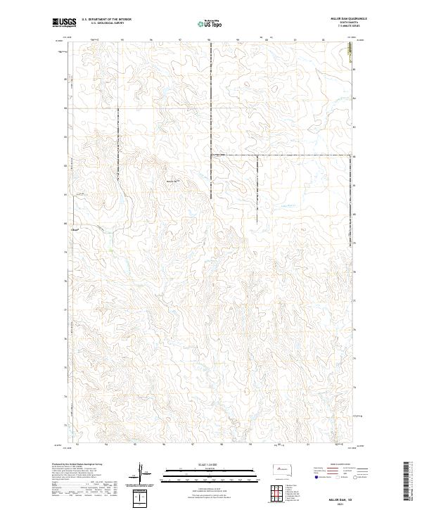
2021 Map of Miller Dam
USGS Topo · Published 2021About this map
Marple Butte stands as a prominent topographical landmark in this section of the western South Dakota plains, situated within Ziebach County near its eastern border with Dewey County. The landscape is defined by the drainage patterns of Little Bear Cr and Cottonwood Cr, which carve through the prairie terrain. The small settlement of Chase is located in the western portion of the map, served by a modest network of local routes including Cherry Creek Rd and Olsen Ave. The namesake Miller Dam provides a focal point for water management in this agricultural region. This survey captures the rural character of the Cheyenne River Indian Reservation area, where the infrastructure is limited to widely spaced ranch roads and intermittent stream beds like E Br Ash Cr.
Find a feature on this map
13 named features on this map. Tap any name to fly to it.
Don’t see what you’re looking for? This feature index may not catch every label — zoom into the map to look around manually.
Map Details
Editions of this 2021 Miller Dam Map
This is the sole edition of this map. No revisions or reprints were ever made.
Other maps of this area

1953 · McIntosh
USGS Topo · 1:250,000

1954 · Pierre
USGS Topo · 1:250,000

1958 · Pierre
USGS Topo · 1:250,000

1958 · McIntosh
USGS Topo · 1:250,000

1979 · Dupree
USGS Topo · 1:25,000

1981 · Lantry
USGS Topo · 1:24,000

1981 · High Elk Hill NW
USGS Topo · 1:24,000

1981 · High Elk Hill SW
USGS Topo · 1:24,000

1982 · Miller Dam
USGS Topo · 1:24,000

1982 · Longbrake Ranch
USGS Topo · 1:24,000