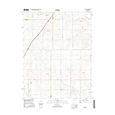
2015 Map of Miller
USGS Topo · Published 2015About this map
Wilmington sits at the northern edge of this 2015 study, where the rolling grasslands of the eastern Kansas plains meet the historic Santa Fe Trail corridor. The landscape is defined by its agricultural grid and a network of meandering waterways, including Soldier Cr, Plum Cr, and Salt Cr. Near the southern border, the small settlement of Miller anchors the local rural community. This area preserves its pioneer heritage through sites like Wilmington Cemetery and Rapp Cemetery, which provide vital touchpoints for genealogists researching the early families of the Wabaunsee, Lyon, and Osage county borders. Modern land use is reflected in local aviation facilities such as Dickson Private Airport and the J V Ranch Airport, showing how the traditional ranching economy has adapted over time. The map provides a detailed view of the section lines and rural road networks that have structured this prairie landscape since its earliest township surveys.
Find a feature on this map
37 named features on this map. Tap any name to fly to it.
Don’t see what you’re looking for? This feature index may not catch every label — zoom into the map to look around manually.
Map Details
Editions of this 2015 Miller Map
This is the sole edition of this map. No revisions or reprints were ever made.
Other maps of this area

1885 · Eskridge
USGS Topo · 1:125,000

1889 · Burlingame
USGS Topo · 1:125,000

1889 · Eskridge
USGS Topo · 1:125,000

1894 · Eskridge
USGS Topo · 1:125,000

1894 · Burlingame
USGS Topo · 1:125,000

1947 · Lawrence
USGS Topo · 1:250,000

1950 · Lawrence
USGS Topo · 1:250,000

1952 · Harveyville
USGS Topo · 1:24,000

1952 · Burlingame
USGS Topo · 1:24,000

1955 · Hutchinson
USGS Topo · 1:250,000