
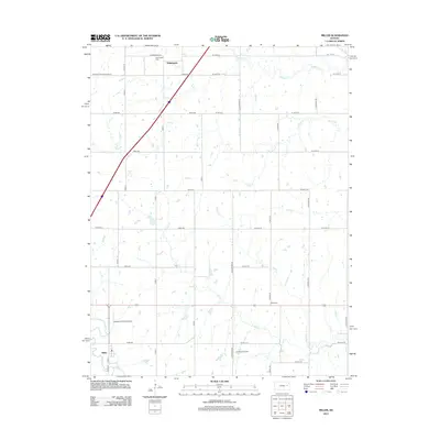
1971 Map of Miller
USGS Topo · Published 1972About this map
Wilmington and the small rail settlement of Miller anchor this landscape at the junction of Osage, Lyon, and Wabaunsee counties. The terrain is defined by a dense network of drainage, including Dragoon Creek, Salt Creek, and Soldier Creek, which carve through the townships of Plumb, Waterloo, and Grant. A significant historical marker, the Old Indian Treaty Boundary, cuts diagonally across the center of the sheet, reflecting the earlier administrative shaping of the Kansas territory. Modern and 19th-century transportation corridors run side-by-side here. The Kansas Turnpike provides high-speed transit while the Missouri Pacific railroad serves the southern portion of the quadrangle near Miller. Local landmarks like Stotler Ch, Wilmington Cem, and Maple Grove Cem provide essential reference points for genealogists tracking family history in these rural townships.
Find a feature on this map
23 named features on this map. Tap any name to fly to it.
Don’t see what you’re looking for? This feature index may not catch every label — zoom into the map to look around manually.
Map Details
Editions of this 1971 Miller Map
This is the sole edition of this map. No revisions or reprints were ever made.
Historical Maps of Wilmington Through Time
24 maps found
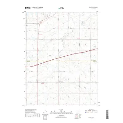
1957 Waverly NW
Osage County, KS
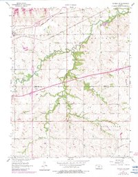
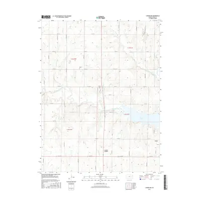
1965 Lyndon NW
Osage County, KS
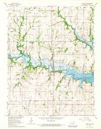
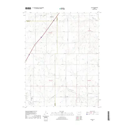
1971 Miller
Osage County, KS
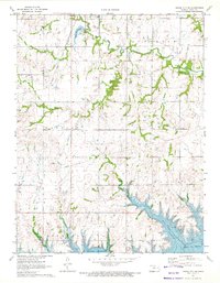
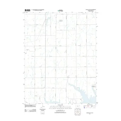
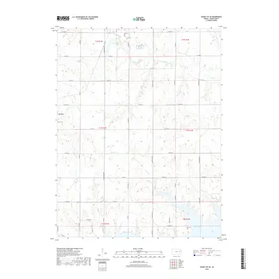
1971 Osage City SE
Osage County, KS
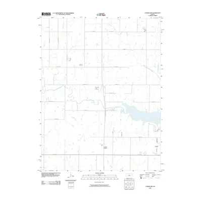
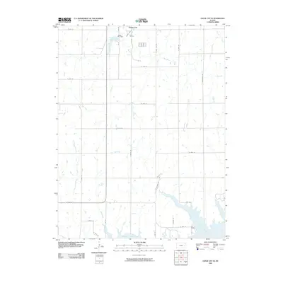
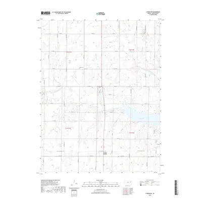
2009 Lyndon NW
Osage County, KS
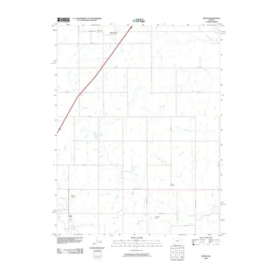
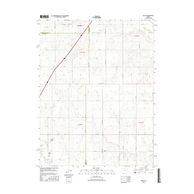
2009 Miller
Osage County, KS
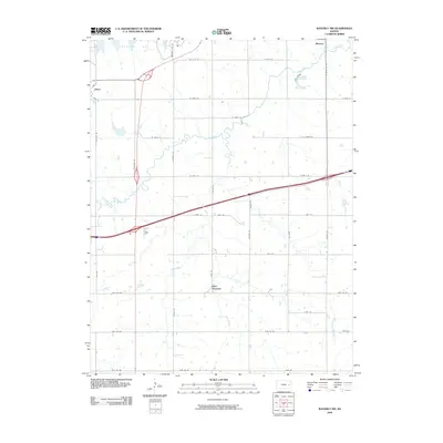
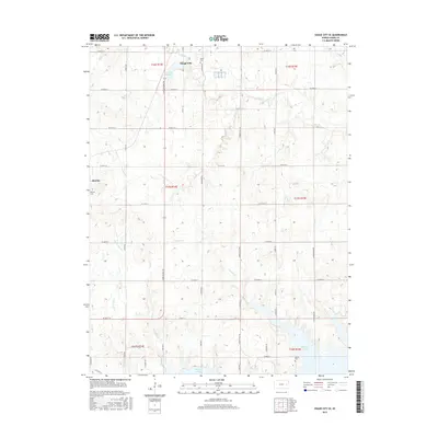
2009 Osage City SE
Osage County, KS
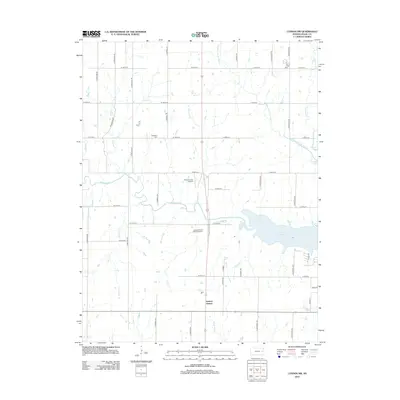
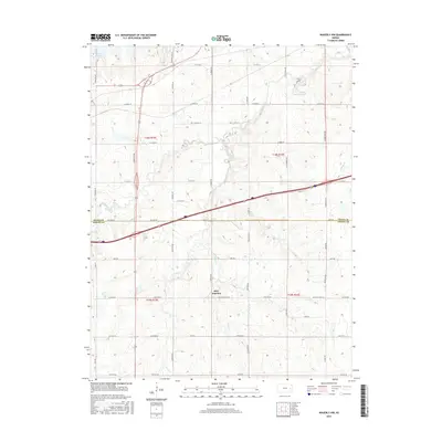
2009 Waverly NW
Osage County, KS
2012 Lyndon NW
Osage County, KS
2012 Miller
Osage County, KS
2012 Osage City SE
Osage County, KS
2012 Waverly NW
Osage County, KS
2015 Lyndon NW
Osage County, KS
2015 Miller
Osage County, KS
2015 Osage City SE
Osage County, KS
2016 Waverly NW
Osage County, KS
2018 Lyndon NW
Osage County, KS
2018 Miller
Osage County, KS
2018 Osage City SE
Osage County, KS
2018 Waverly NW
Osage County, KS
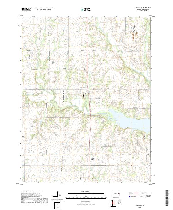
2022 Lyndon NW
Osage County, KS
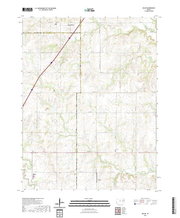
2022 Miller
Osage County, KS
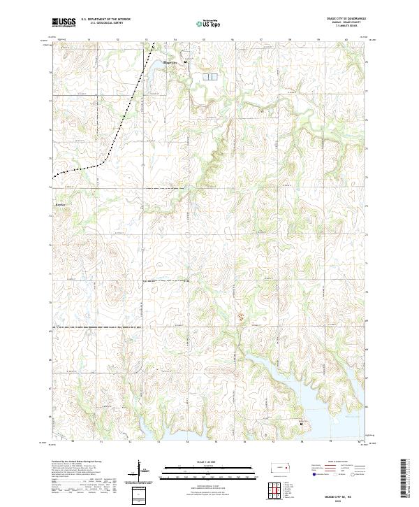
2022 Osage City SE
Osage County, KS
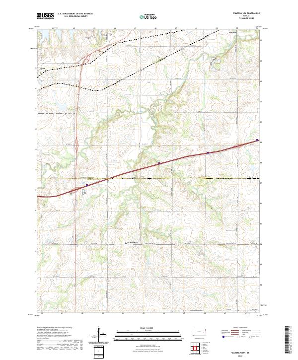
2022 Waverly NW
Osage County, KS