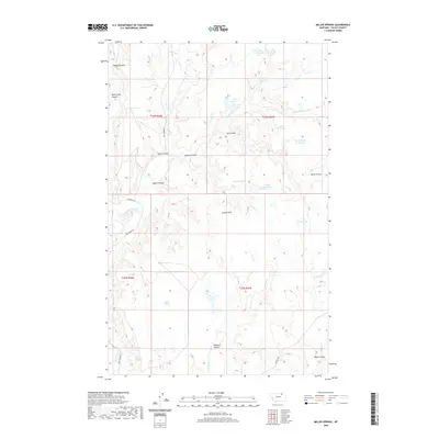
2020 Map of Miller Springs
USGS Topo · Published 2020About this map
Miller Springs and Johnson Springs define the water-dependent landscape of this Valley County region, where intricate coulees and man-made impoundments serve as vital resources. The terrain is deeply incised by a network of drainage features, most notably Rock Creek Canyon and Eagles Nest Coulee, which highlight the erosive character of the local geography. Numerous small reservoirs, such as Mary Black Reservoir, Emory Reservoir, and Book Reservoir, illustrate the historical and ongoing management of surface water in this arid stretch of Montana. Transport across the area is guided by primitive routes like Rock Creek Rd and Sleaker Rd, connecting isolated landmarks like the Landre Hills to the wider county. This survey documents the specific placement of these catchments and springs, essential for understanding the ranching and agricultural history of the High Plains.
Find a feature on this map
32 named features on this map. Tap any name to fly to it.
Don’t see what you’re looking for? This feature index may not catch every label — zoom into the map to look around manually.
Map Details
Editions of this 2020 Miller Springs Map
This is the sole edition of this map. No revisions or reprints were ever made.
Other maps of this area

1906 · Hinsdale Special Map
USGS Topo · 1:62,500

1919 · Boundary
USGS Topo · 1:125,000

1943 · Glasgow
USGS Topo · 1:125,000

1954 · Glasgow
USGS Topo · 1:250,000

1957 · Glasgow
USGS Topo · 1:250,000

1958 · Glasgow
USGS Topo · 1:250,000
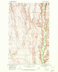
1969 · Tampico NE
USGS Topo · 1:24,000

1969 · Ellsworth Coulee
USGS Topo · 1:24,000

1984 · Laundry Hill
USGS Topo · 1:24,000

1984 · Opheim
USGS Topo · 1:100,000