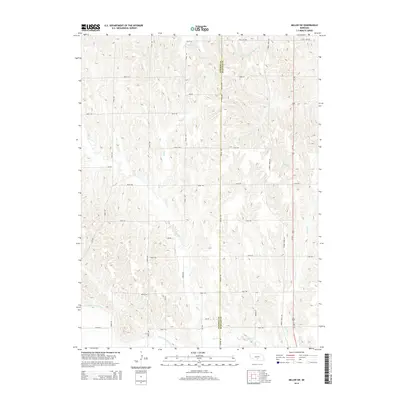
2014 Map of Miller SW
USGS Topo · Published 2014About this map
The Dawson County Canal carves across the southwestern corner of this Nebraska landscape, tracing the irrigation history vital to the Platte River Valley. This agricultural expanse is defined by a rigid section-line road grid, where north-south routes like Apache Rd and Arrow Rd intersect with an orderly series of numbered east-west thoroughfares. The drainage pattern of the region flows generally southward, with Bell Cr, Elm Cr, and Turkey Cr meandering through the rolling topography toward the Platte. Us-183 serves as the primary north-south artery along the eastern edge, passing near Turkey Creek Rd. The boundary between Dawson County and Buffalo County runs vertically through the center of the sheet, providing a clear reference point for land ownership and local history research in this rural corridor.
Find a feature on this map
35 named features on this map. Tap any name to fly to it.
Don’t see what you’re looking for? This feature index may not catch every label — zoom into the map to look around manually.
Map Details
Editions of this 2014 Miller SW Map
This is the sole edition of this map. No revisions or reprints were ever made.
Other maps of this area

1896 · Lexington
USGS Topo · 1:125,000

1896 · Kearney
USGS Topo · 1:125,000

1899 · Lexington
USGS Topo · 1:125,000

1955 · Grand Island
USGS Topo · 1:250,000

1957 · Grand Island
USGS Topo · 1:250,000

1958 · Grand Island
USGS Topo · 1:250,000

1961 · Elm Creek West
USGS Topo · 1:24,000

1961 · Amherst
USGS Topo · 1:24,000

1961 · Miller SW
USGS Topo · 1:24,000

1962 · Elm Creek East
USGS Topo · 1:24,000