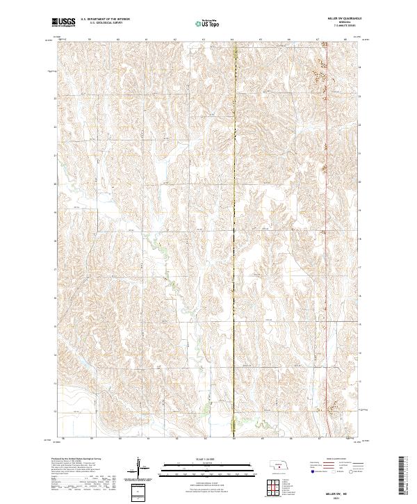
2021 Map of Miller SW
USGS Topo · Published 2021About this map
Dawson Co and Buffalo Co meet along a vertical boundary line that bisects this central Nebraska landscape. The terrain is defined by a dense network of drainage patterns, where small tributaries like Elm Cr and Bell Cr carve through the upland plains. The land is organized by a precise grid of section lines and rural routes, reflecting the systematic agricultural development of the region. Local travel is facilitated by a structured road system including named corridors such as Apache Rd, Arrow Rd, and Pole Line Rd, which segment the territory into its constituent townships. This survey demonstrates the enduring legacy of the Public Land Survey System, showing the transition between t11n r19w, t10n r19w, and t9n r19w as they align with the county line.
Find a feature on this map
31 named features on this map. Tap any name to fly to it.
Don’t see what you’re looking for? This feature index may not catch every label — zoom into the map to look around manually.
Map Details
Editions of this 2021 Miller SW Map
This is the sole edition of this map. No revisions or reprints were ever made.
Other maps of this area

1896 · Lexington
USGS Topo · 1:125,000

1896 · Kearney
USGS Topo · 1:125,000

1899 · Lexington
USGS Topo · 1:125,000

1955 · Grand Island
USGS Topo · 1:250,000

1957 · Grand Island
USGS Topo · 1:250,000

1958 · Grand Island
USGS Topo · 1:250,000

1961 · Elm Creek West
USGS Topo · 1:24,000

1961 · Amherst
USGS Topo · 1:24,000

1961 · Miller SW
USGS Topo · 1:24,000

1962 · Elm Creek East
USGS Topo · 1:24,000