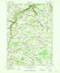
1943 Map of Millers Mills
USGS Topo · Published 1970About this map
Millers Mills and the Unadilla River valley define this rural landscape on the border of Herkimer and Otsego counties. The mid-century topography reveals a complex network of small crossroads settlements and dairy country, with the Delaware Lackawanna and Western railroad corridor serving as a vital artery for the region's economy. The map preserves the specific locations of several rural education and social centers, including Fern Cliff Sch and Hayner Sch, which anchored these upland farming communities during the early 1940s.
Find a feature on this map
57 named features on this map. Tap any name to fly to it.
Don’t see what you’re looking for? This feature index may not catch every label — zoom into the map to look around manually.
Map Details
Editions of this 1943 Millers Mills Map
2 editions found

Other maps of this area

1898 · Utica
USGS Topo · 1:62,500

1900 · Little Falls
USGS Topo · 1:62,500

1900 · Utica
USGS Topo · 1:62,500

1903 · Richfield Springs
USGS Topo · 1:62,500

1903 · Little Falls
USGS Topo · 1:62,500

1907 · Winfield
USGS Topo · 1:62,500

1939 · Little Falls
USGS Topo · 1:62,500

1943 · Schuyler Lake
USGS Topo · 1:24,000

1943 · Utica East
USGS Topo · 1:24,000

1943 · Jordanville
USGS Topo · 1:24,000