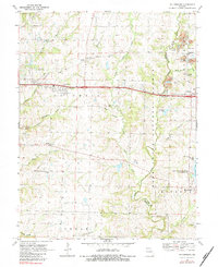
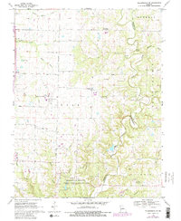
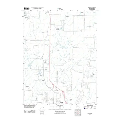
1969 Map of Millersburg
USGS Topo · Published 1983About this map
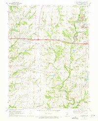
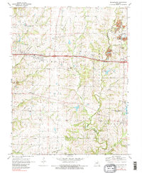
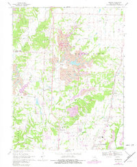
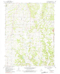
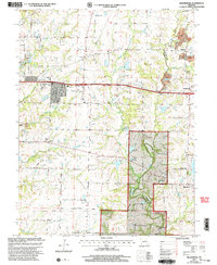
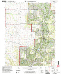
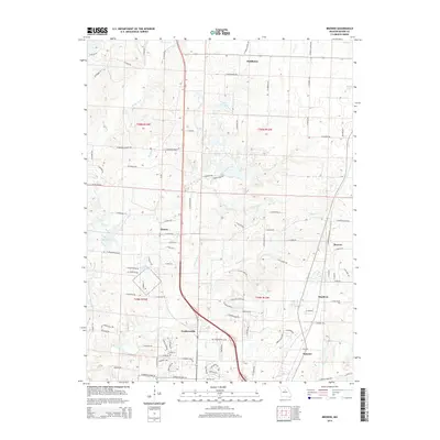
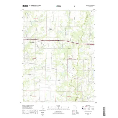
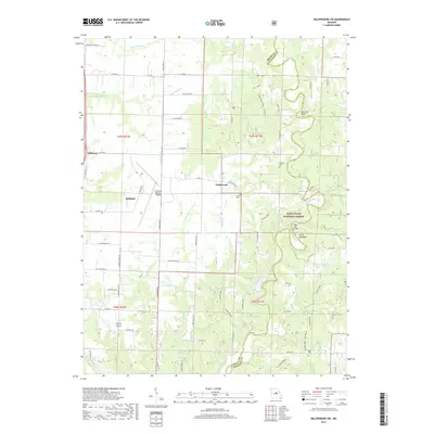
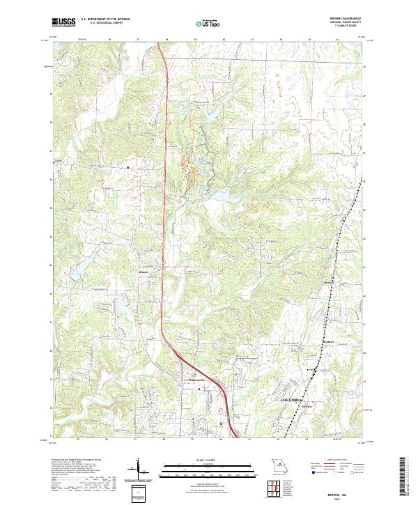
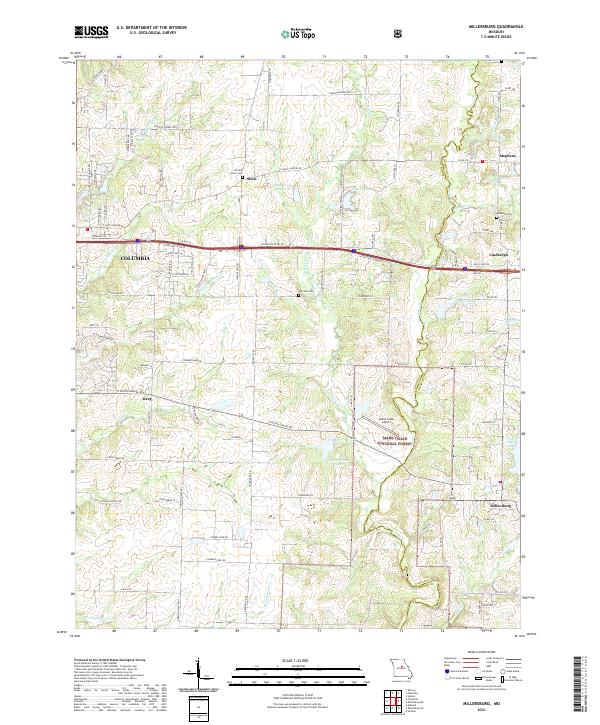
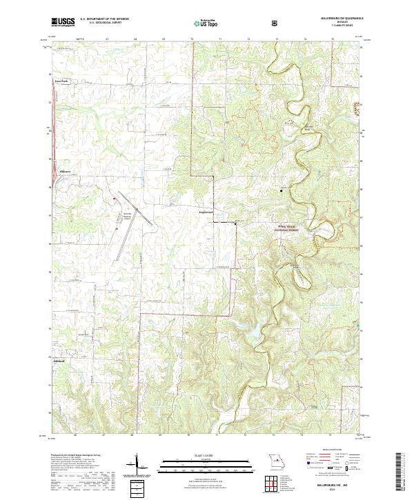
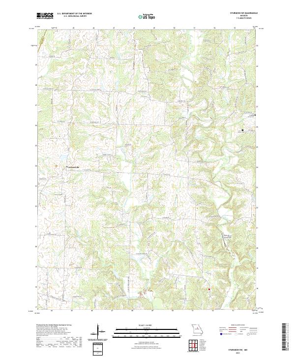
Cedar Creek carves a deep valley through the center of this landscape, separating the townships of Columbia, Cedar, and Bourbon. The terrain transitions from the developed fringes of eastern Columbia to the wooded ridges of the Mark Twain National Forest. Local history is anchored by rural centers like Millersburg and Harg, along with several landmark churches such as Olivet Ch and Simpson Chapel. Large-scale Strip Mines are visible in the northeast near Stephens, indicating the area's industrial activity alongside its recreational and conservation lands like the Little Dixie State Wildlife Management Area. Genealogists will find several small family or community burial grounds including Allen Cem and the Hamilton Cem, which document the long-standing settlement of this portion of Boone and Callaway Counties.
Find a feature on this map
35 named features on this map. Tap any name to fly to it.
Don’t see what you’re looking for? This feature index may not catch every label — zoom into the map to look around manually.
Map Details
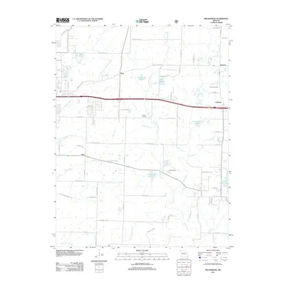
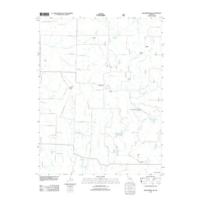
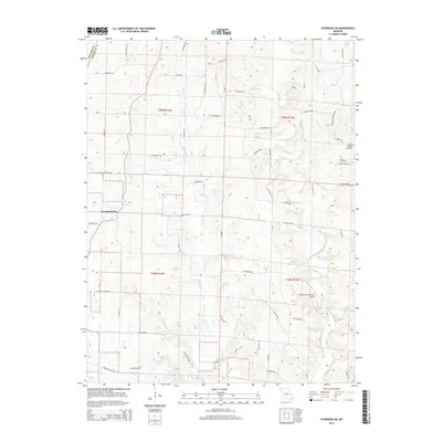
Editions of this 1969 Millersburg Map
3 editions found
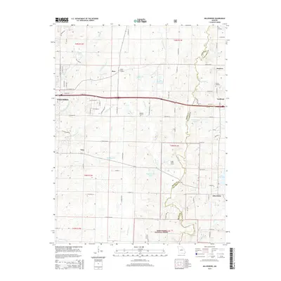
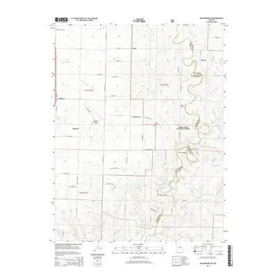
Historical Maps of Columbia Through Time
22 maps found
1969 Browns
Boone County, MO
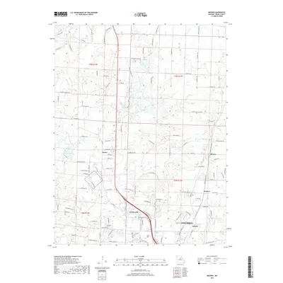
1969 Millersburg
Boone County, MO
1969 Millersburg SW
Boone County, MO
1969 Sturgeon SW
Boone County, MO
2000 Millersburg
Boone County, MO
2000 Millersburg SW
Boone County, MO
2012 Browns
Boone County, MO
2012 Millersburg
Boone County, MO
2012 Millersburg SW
Boone County, MO
2012 Sturgeon SW
Boone County, MO
2014 Browns
Boone County, MO
2014 Sturgeon SW
Boone County, MO
2015 Millersburg
Boone County, MO
2015 Millersburg SW
Boone County, MO
2017 Browns
Boone County, MO
2017 Millersburg
Boone County, MO
2017 Millersburg SW
Boone County, MO
2017 Sturgeon SW
Boone County, MO
2021 Browns
Boone County, MO
2021 Millersburg
Boone County, MO
2021 Millersburg SW
Boone County, MO
2021 Sturgeon SW
Boone County, MO