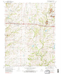
1969 Map of Millersburg
USGS Topo · Published 1983About this map
Cedar Creek meanders along the Boone Co Callaway Co border, serving as a central geographic feature in this Missouri landscape. During the late 1960s, the region was defined by a mix of agricultural land, conservation areas, and the industrial presence of Strip Mines north of Lindbergh. This map reveals the established rural infrastructure of the era, from the fairways of the Forest Hill Country Club near Columbia to the quiet cemeteries of Hamilton Cem and Prairie Grove Cem. The presence of small community centers like Stephens and Millersburg illustrates the persistent settlement patterns of the central Missouri uplands.
Find a feature on this map
38 named features on this map. Tap any name to fly to it.
Don’t see what you’re looking for? This feature index may not catch every label — zoom into the map to look around manually.
Map Details
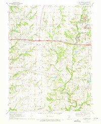
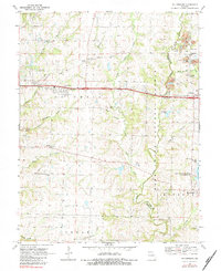
Editions of this 1969 Millersburg Map
3 editions found
Other maps of this area

1886 · Jefferson City
USGS Topo · 1:125,000

1890 · Moberly
USGS Topo · 1:125,000

1894 · Jefferson City
USGS Topo · 1:125,000

1917 · Sturgeon
USGS Topo · 1:62,500

1935 · Columbia
USGS Topo · 1:24,000

1940 · Columbia
USGS Topo · 1:24,000

1944 · Millersburg
USGS Topo · 1:62,500

1945 · Centralia
USGS Topo · 1:62,500

1946 · Millersburg
USGS Topo · 1:62,500

1947 · Jefferson City
USGS Topo · 1:250,000