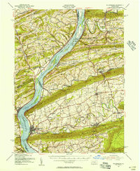
1953 Map of Millersburg
USGS Topo · Published 1956About this map
The Susquehanna River dominates this mid-century landscape, acting as both a vital transportation artery and a complex county boundary for Snyder, Northumberland, Juniata, Perry, and Dauphin. This survey captures a moment when the river's industrial past remains visible through the abandoned canal traces and multiple island-hopping ferry crossings. Major ridges like Berry Mountain and Mahantango Mountain define the east-west orientation of the valleys, where local life centered on small post offices and crossroads such as Uniontown and Elizabethville.
Find a feature on this map
122 named features on this map. Tap any name to fly to it.
Don’t see what you’re looking for? This feature index may not catch every label — zoom into the map to look around manually.
Map Details
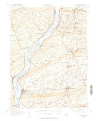
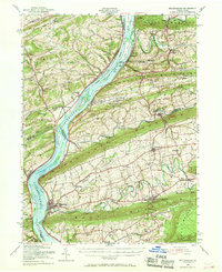
Editions of this 1953 Millersburg Map
3 editions found
Other maps of this area

1892 · Lykens
USGS Topo · 1:62,500

1892 · Hummelstown
USGS Topo · 1:62,500

1892 · Shamokin
USGS Topo · 1:62,500

1892 · Harrisburg
USGS Topo · 1:62,500

1893 · Sunbury
USGS Topo · 1:62,500

1893 · Lykens
USGS Topo · 1:62,500

1893 · Shamokin
USGS Topo · 1:62,500

1893 · Millersburg
USGS Topo · 1:62,500

1899 · Harrisburg
USGS Topo · 1:62,500

1907 · New Bloomfield
USGS Topo · 1:62,500