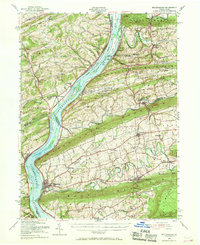
1953 Map of Millersburg
USGS Topo · Published 1969About this map
The Susquehanna River dominates this landscape, its broad course punctuated by numerous islands such as Browns Island and Hoover Island as it flows past the ridges of Little Mountain and Berry Mountain. In the mid-twentieth century, the river still served as a primary transportation corridor, flanked by the Pennsylvania and Reading railroad lines. On the eastern shore, the town of Millersburg sits at the confluence with Wiconisco Creek, acting as a hub for the surrounding agricultural valleys of Liverpool and Upper Paxton.
Find a feature on this map
117 named features on this map. Tap any name to fly to it.
Don’t see what you’re looking for? This feature index may not catch every label — zoom into the map to look around manually.
Map Details
Editions of this 1953 Millersburg Map
3 editions found

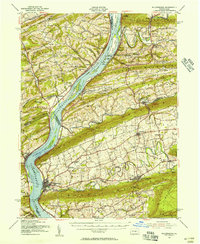
Other maps of this area

1892 · Lykens
USGS Topo · 1:62,500

1892 · Hummelstown
USGS Topo · 1:62,500

1892 · Shamokin
USGS Topo · 1:62,500

1892 · Harrisburg
USGS Topo · 1:62,500

1893 · Sunbury
USGS Topo · 1:62,500

1893 · Lykens
USGS Topo · 1:62,500

1893 · Shamokin
USGS Topo · 1:62,500

1893 · Millersburg
USGS Topo · 1:62,500

1899 · Harrisburg
USGS Topo · 1:62,500

1907 · New Bloomfield
USGS Topo · 1:62,500