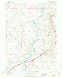
1965 Map of Millersville
USGS Topo · Published 1968About this map
Blacks Fork and Smiths Fork converge in this high-desert corridor of Uinta County, where the historic Emigrant Trail follows the winding river course. The settlement of Millersville sits at this significant waterway junction, serving as a focal point for local transport and resource management. The landscape is marked by the distinct topographic features of Moss Agate Cut and Agate Cut, reflecting the geological character of the Green River Basin.
Find a feature on this map
16 named features on this map. Tap any name to fly to it.
Don’t see what you’re looking for? This feature index may not catch every label — zoom into the map to look around manually.
Map Details
Editions of this 1965 Millersville Map
This is the sole edition of this map. No revisions or reprints were ever made.
Other maps of this area

1954 · Ogden
USGS Topo · 1:250,000

1958 · Ogden
USGS Topo · 1:250,000

1960 · Ogden
USGS Topo · 1:250,000

1964 · Butcher Knife Draw
USGS Topo · 1:24,000

1964 · Mountain View
USGS Topo · 1:24,000
1964 · Wildcat Butte
USGS Topo · 1:24,000

1964 · Austin Reservoir
USGS Topo · 1:24,000
1965 · Turtle Hill
USGS Topo · 1:24,000
1969 · Verne
USGS Topo · 1:24,000

1969 · Hampton
USGS Topo · 1:24,000