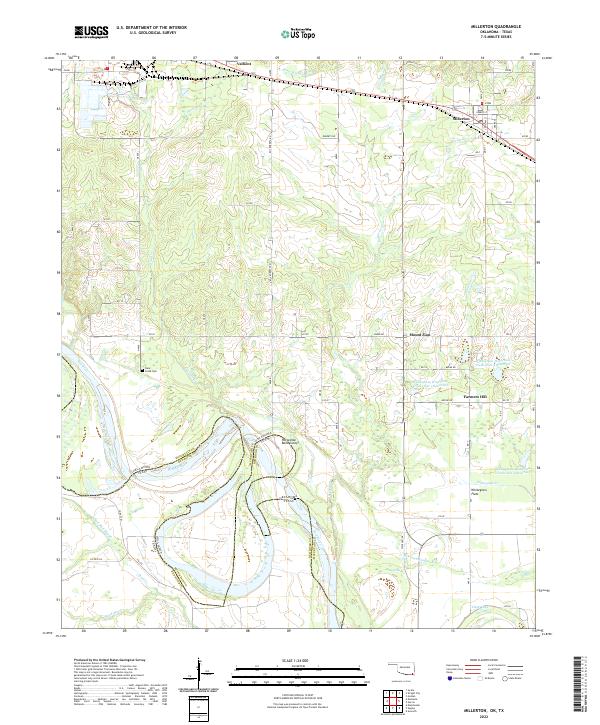
2022 Map of Millerton
USGS Topo · Published 2022About this map
The Red River defines the southern reach of this landscape, carving a serpentine border between Oklahoma and Texas. Near the center of the sheet, the Horseshoe Bend Cutoff marks a significant shift in the river's path, leaving behind a complex network of wetlands and oxbows including Red Lake and Clear Lake. This riparian corridor gives way to the higher ground of Whitegrass Flats and the small upland communities of Mount Zion and Farmers Hill, where rural life is shaped by the numerous creek systems like Buzzard Cr and Whitegrass Cr.
Find a feature on this map
43 named features on this map. Tap any name to fly to it.
Don’t see what you’re looking for? This feature index may not catch every label — zoom into the map to look around manually.
Map Details
Editions of this 2022 Millerton Map
This is the sole edition of this map. No revisions or reprints were ever made.
Other maps of this area

1901 · Alikchi
USGS Topo · 1:125,000

1902 · Lukfata
USGS Topo · 1:125,000

1950 · Mcalester
USGS Topo · 1:250,000

1950 · Acworth
USGS Topo · 1:24,000

1951 · Garvin
USGS Topo · 1:24,000

1951 · Acworth
USGS Topo · 1:24,000

1951 · Millerton
USGS Topo · 1:24,000

1951 · Negley
USGS Topo · 1:24,000

1951 · Kiomatia
USGS Topo · 1:24,000

1951 · Manchester
USGS Topo · 1:24,000