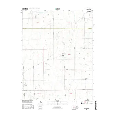
2015 Map of Millerton
USGS Topo · Published 2015About this map
Millerton sits at the heart of this rural landscape, which spans the boundary between Sedgwick Co and Sumner Co. This survey illustrates the highly organized section-line road grid characteristic of the Kansas plains, where small settlements like Conway Springs and Clearwater anchored the local farming economy. The hydrology of the region is defined by the Ninnescah River in the north and various drainage ways such as Turtle Cr, Silver Cr, and Slate Cr that carve subtle relief into the prairie.
Find a feature on this map
49 named features on this map. Tap any name to fly to it.
Don’t see what you’re looking for? This feature index may not catch every label — zoom into the map to look around manually.
Map Details
Editions of this 2015 Millerton Map
This is the sole edition of this map. No revisions or reprints were ever made.
Other maps of this area

1889 · Cheney
USGS Topo · 1:125,000

1889 · Wichita
USGS Topo · 1:125,000

1889 · Caldwell
USGS Topo · 1:125,000

1890 · Wellington
USGS Topo · 1:125,000

1891 · Cheney
USGS Topo · 1:125,000

1893 · Caldwell
USGS Topo · 1:125,000

1894 · Wichita
USGS Topo · 1:125,000

1897 · Caldwell
USGS Topo · 1:125,000

1901 · Cheney
USGS Topo · 1:125,000

1943 · Bayneville
USGS Topo · 1:31,680