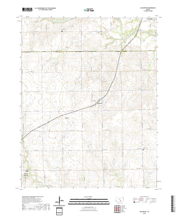
2022 Map of Millerton
USGS Topo · Published 2022About this map
The Wichita Prairies of southern Kansas define the landscape of this contemporary survey, where the Ninnescah River meanders across the border of Sedgwick and Sumner counties. The agricultural grid is punctuated by small rural hubs, most notably Millerton and the outskirts of Conway Springs and Clearwater. This map provides a detailed view of the local cemetery network, essential for genealogical research, including Harrington Cem in the north and Greencastle Cem and Conway Springs Cem to the south.
Find a feature on this map
46 named features on this map. Tap any name to fly to it.
Don’t see what you’re looking for? This feature index may not catch every label — zoom into the map to look around manually.
Map Details
Editions of this 2022 Millerton Map
This is the sole edition of this map. No revisions or reprints were ever made.
Other maps of this area

1889 · Cheney
USGS Topo · 1:125,000

1889 · Wichita
USGS Topo · 1:125,000

1889 · Caldwell
USGS Topo · 1:125,000

1890 · Wellington
USGS Topo · 1:125,000

1891 · Cheney
USGS Topo · 1:125,000

1893 · Caldwell
USGS Topo · 1:125,000

1894 · Wichita
USGS Topo · 1:125,000

1897 · Caldwell
USGS Topo · 1:125,000

1901 · Cheney
USGS Topo · 1:125,000

1943 · Bayneville
USGS Topo · 1:31,680