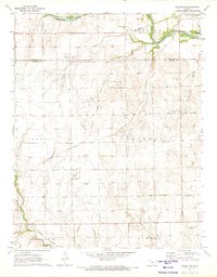
1971 Map of Millerton
USGS Topo · Published 1973About this map
The Old Indian Treaty Boundary slices across this central Kansas landscape, marking a historical division just south of the Sedgwick Co Sumner Co line. Centered on the settlement of Millerton, the area is defined by a transitional economy of agriculture and energy extraction, notably the Latta Northwest Oil Field. The landscape is drained by the Ninnescah River in the north and Slate Creek in the south, with the transport network featuring the Missouri Pacific railroad and a prominent Old Railroad Grade north of the treaty line.
Find a feature on this map
21 named features on this map. Tap any name to fly to it.
Don’t see what you’re looking for? This feature index may not catch every label — zoom into the map to look around manually.
Map Details
Editions of this 1971 Millerton Map
This is the sole edition of this map. No revisions or reprints were ever made.
Other maps of this area

1889 · Cheney
USGS Topo · 1:125,000

1889 · Wichita
USGS Topo · 1:125,000

1889 · Caldwell
USGS Topo · 1:125,000

1890 · Wellington
USGS Topo · 1:125,000

1891 · Cheney
USGS Topo · 1:125,000

1893 · Caldwell
USGS Topo · 1:125,000

1894 · Wichita
USGS Topo · 1:125,000

1897 · Caldwell
USGS Topo · 1:125,000

1901 · Cheney
USGS Topo · 1:125,000

1943 · Bayneville
USGS Topo · 1:31,680