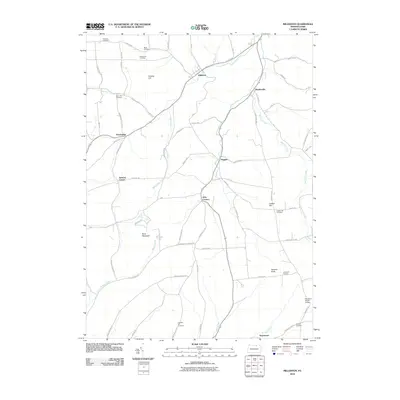
2010 Map of Millerton
USGS Topo · Published 2010About this map
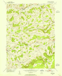
Millerton and several surrounding small hamlets occupy this rural corridor of northern Pennsylvania during the early twenty-first century. The landscape is defined by its numerous family and community burial grounds, including Wheeler Cemetery, Miller Cemetery, and Seeley Hill Cemetery, which offer valuable locations for genealogical research. The terrain is marked by significant rises such as Norway Hill, Buck Mountain, and Judson Hill, with drainage provided by the winding courses of Alder Run and Bear Creek.
Find a feature on this map
66 named features on this map. Tap any name to fly to it.
Don’t see what you’re looking for? This feature index may not catch every label — zoom into the map to look around manually.
Map Details
Editions of this 2010 Millerton Map
This is the sole edition of this map. No revisions or reprints were ever made.
Other maps of this area
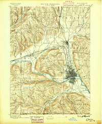
1895 · Elmira
USGS Topo · 1:62,500
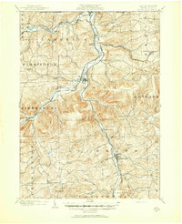
1900 · Tioga
USGS Topo · 1:62,500
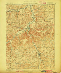
1902 · Tioga
USGS Topo · 1:62,500

1905 · Watkins Glen
USGS Topo · 1:125,000
1914 · Corning
USGS Topo · 1:62,500
1931 · Troy
USGS Topo · 1:48,000
1938 · Troy
USGS Topo · 1:62,500
1944 · Corning
USGS Topo · 1:62,500

1950 · Elmira
USGS Topo · 1:250,000
1953 · Roseville
USGS Topo · 1:24,000
Featured Places
- Columbia Township, PA
- Jackson Township, PA
- Daggett, Jackson Township
- Jobs Corners, Jackson Township
- Millerton, Jackson Township