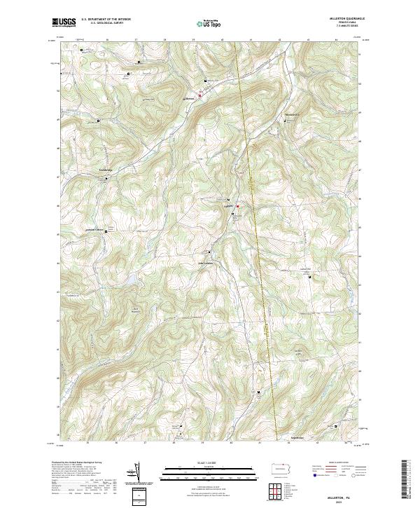
2023 Map of Millerton
USGS Topo · Published 2023About this map
Millerton and the surrounding borderlands of the Tioga Co and Bradford Co line define this northern Pennsylvania landscape. The terrain is characterized by significant elevations such as Norway Hill and Buck Mountain, which overlook a network of valley settlements including Jobs Corners, Daggett, and Mosherville. These small communities are historically anchored by an extensive series of cemeteries and burial sites, which suggest a long-standing pattern of family-held land and early pioneer settlement.
Find a feature on this map
73 named features on this map. Tap any name to fly to it.
Don’t see what you’re looking for? This feature index may not catch every label — zoom into the map to look around manually.
Map Details
Editions of this 2023 Millerton Map
This is the sole edition of this map. No revisions or reprints were ever made.
Other maps of this area

1895 · Elmira
USGS Topo · 1:62,500

1900 · Tioga
USGS Topo · 1:62,500

1902 · Tioga
USGS Topo · 1:62,500

1905 · Watkins Glen
USGS Topo · 1:125,000

1914 · Corning
USGS Topo · 1:62,500

1931 · Troy
USGS Topo · 1:48,000

1938 · Troy
USGS Topo · 1:62,500

1944 · Corning
USGS Topo · 1:62,500

1950 · Elmira
USGS Topo · 1:250,000

1953 · Roseville
USGS Topo · 1:24,000
Featured Places
- Columbia Township, PA
- Rutland Township, PA
- Jackson Township, PA
- Daggett, Jackson Township
- Jobs Corners, Jackson Township