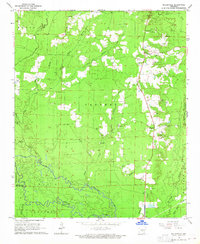
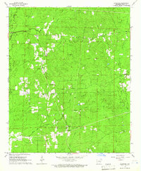
1964 Map of Millerville
USGS Topo · Published 1965About this map
The Saline River and its meandering tributaries dominate this mid-century survey of the Arkansas timberlands along the border of Grant and Dallas Counties. The landscape is defined by the heavy presence of extractive industry, evidenced by numerous Gravel Pits concentrated near the settlement of Millerville and the Cross Roads junction. These gravel operations were vital to the local economy and road development during this era, while a Lookout Tower to the north monitored the surrounding forests.
Find a feature on this map
35 named features on this map. Tap any name to fly to it.
Don’t see what you’re looking for? This feature index may not catch every label — zoom into the map to look around manually.
Map Details
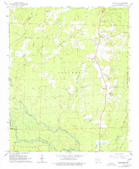
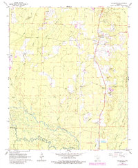
Editions of this 1964 Millerville Map
3 editions found
Other maps of this area

1955 · Little Rock
USGS Topo · 1:250,000

1956 · Little Rock
USGS Topo · 1:250,000

1960 · Little Rock
USGS Topo · 1:250,000

1963 · Prattsville
USGS Topo · 1:24,000

1964 · Little Rock
USGS Topo · 1:250,000

1964 · Staves
USGS Topo · 1:24,000

1964 · Sheridan
USGS Topo · 1:24,000

1964 · Bunn
USGS Topo · 1:24,000
1964 · Prague
USGS Topo · 1:24,000
1964 · Grapevine
USGS Topo · 1:24,000