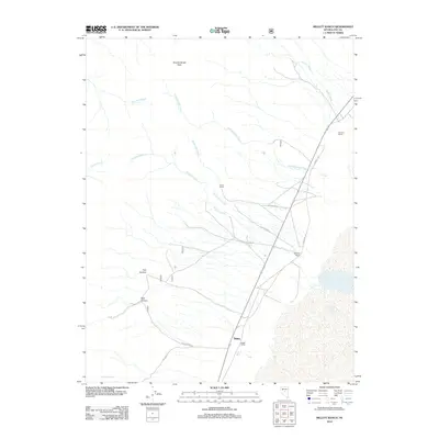
2012 Map of Millett Ranch
USGS Topo · Published 2012About this map
Millett Ranch and the small settlement of Millett anchor this high-desert landscape in northern Nye County, where the eastern slopes of the Toiyabe Range meet the Big Smoky Valley. This 2012 survey documents a series of established ranching operations, including Gendron Ranch, Indian Ranch, and McLeod Ranch, each positioned near the vital runoff of perennial and intermittent streams. The drainage network is dense, with Alice Gendron Creek and McLeod Creek carrying snowmelt down from Toiyabe Range Peak toward the valley floor. The map highlights a network of primitive roads and historical pathways, most notably the Fremont Trl and the descriptive Indian Burial Grd Rd, illustrating how early transportation corridors were dictated by the deep incisions of Park Canyon and Trail Canyon.
Find a feature on this map
22 named features on this map. Tap any name to fly to it.
Don’t see what you’re looking for? This feature index may not catch every label — zoom into the map to look around manually.
Map Details
Editions of this 2012 Millett Ranch Map
This is the sole edition of this map. No revisions or reprints were ever made.
Other maps of this area

1907 · Tonopah
USGS Topo · 1:250,000

1908 · Tonopah
USGS Topo · 1:250,000

1955 · Millett
USGS Topo · 1:250,000

1956 · North Shoshone Peak
USGS Topo · 1:62,500

1956 · Millett Ranch
USGS Topo · 1:62,500

1956 · Tonopah
USGS Topo · 1:250,000

1959 · Tonopah
USGS Topo · 1:250,000

1959 · Millett
USGS Topo · 1:250,000

1962 · Tonopah
USGS Topo · 1:250,000

1971 · Carvers NW
USGS Topo · 1:24,000