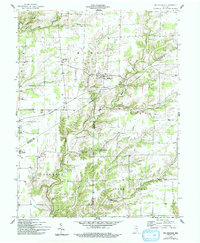
1958 Map of Millhousen
USGS Topo · Published 1993About this map
Millhousen serves as the central hub of this mid-century Indiana landscape, where the rural character of southeastern Decatur County is defined by its deep-cut creek valleys and agricultural plateaus. The town is anchored by Millhousen Ch, while the surrounding townships of Marion and Jackson are dotted with numerous Gas Wells, indicating the local energy extraction that shared the land with traditional farming.
Find a feature on this map
29 named features on this map. Tap any name to fly to it.
Don’t see what you’re looking for? This feature index may not catch every label — zoom into the map to look around manually.
Map Details
Editions of this 1958 Millhousen Map
3 editions found
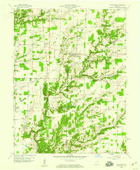
Other maps of this area

1942 · Columbus
USGS Topo · 1:125,000

1946 · Versailles
USGS Topo · 1:24,000

1946 · Osgood
USGS Topo · 1:24,000

1946 · New Point
USGS Topo · 1:24,000

1953 · Cincinnati
USGS Topo · 1:250,000

1957 · Cincinnati
USGS Topo · 1:250,000

1957 · Butlerville
USGS Topo · 1:24,000

1958 · Greensburg
USGS Topo · 1:24,000

1958 · Millhousen
USGS Topo · 1:24,000

1958 · Westport
USGS Topo · 1:24,000