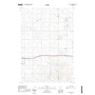
2020 Map of Milligan Canyon
USGS Topo · Published 2020About this map
Milligan Creek flows through the center of this landscape on the border of Jefferson and Broadwater counties. The terrain is defined by drainage patterns like Mud Spring Gulch and the presence of natural water sources such as Cottonwood Spring and Shoddy Springs. While largely rural, the area shows a concentration of modern development in the northeast near Rolling Glen Ranch Road, where numerous residential loops and drives such as Foxglove Loop and Wildrose Loop have been established. Historically significant nomenclature persists in the road network, with names like Oregon Trail and Cherokee Trail appearing alongside functional ranching routes like W Farm Road and Boulder Cutoff Road. This mix of named springs and emerging subdivision roads suggests a transition from traditional open rangeland to rural residential use.
Find a feature on this map
38 named features on this map. Tap any name to fly to it.
Don’t see what you’re looking for? This feature index may not catch every label — zoom into the map to look around manually.
Map Details
Editions of this 2020 Milligan Canyon Map
This is the sole edition of this map. No revisions or reprints were ever made.
Other maps of this area

1886 · Fort Logan
USGS Topo · 1:250,000

1888 · Three Forks
USGS Topo · 1:250,000

1894 · Three Forks
USGS Topo · 1:250,000

1895 · Three Forks
USGS Topo · 1:250,000

1947 · Bozeman
USGS Topo · 1:250,000

1948 · Bozeman
USGS Topo · 1:250,000

1948 · White Sulphur Springs
USGS Topo · 1:250,000

1949 · Radersburg
USGS Topo · 1:62,500

1950 · Devils Fence
USGS Topo · 1:62,500

1950 · Three Forks
USGS Topo · 1:62,500