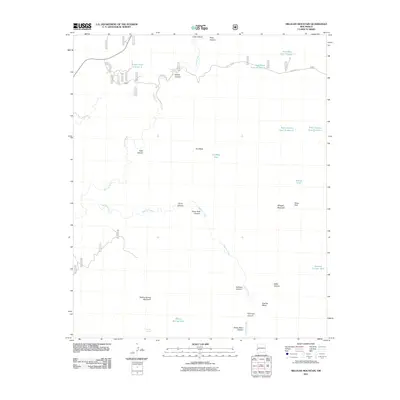
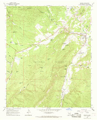
2011 Map of Milligan Mountain
USGS Topo · Published 2011About this map
Milligan Mountain and the surrounding high-desert terrain of Catron County define this landscape, where the Tularosa River and Negrito Creek carve intricate drainage patterns through the mesa country. The geography is characterized by a series of prominent landforms and canyons, including Flat Top Mesa, Dry Mesa, and the deep recesses of Piney Park Canyon. Water management is central to the area's utility, evidenced by numerous named tanks such as Largo Tank Number 2 and Willow Spring Tank, which provide essential catchments in a region where permanent water sources like Kimball Spring and Willow Spring are rare. Transport is limited to rugged tracks and State Rte 233, reflecting a sparsely populated territory primarily shaped by ranching and natural topography. The inclusion of features like Piney Park and Kiehnes Canyon suggests a landscape navigated by cattlemen and outdoorsmen who rely on these specific landmarks for orientation in the vast New Mexico backcountry.
Find a feature on this map
29 named features on this map. Tap any name to fly to it.
Don’t see what you’re looking for? This feature index may not catch every label — zoom into the map to look around manually.
Map Details
Editions of this 2011 Milligan Mountain Map
This is the sole edition of this map. No revisions or reprints were ever made.
Other maps of this area

1915 · Reserve
USGS Topo · 1:125,000

1918 · Reserve
USGS Topo · 1:125,000

1954 · Clifton
USGS Topo · 1:250,000

1957 · Clifton
USGS Topo · 1:250,000

1958 · Clifton
USGS Topo · 1:250,000

1962 · Clifton
USGS Topo · 1:250,000
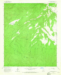
1963 · Sign Camp Mountain
USGS Topo · 1:24,000
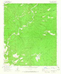
1963 · O Block Canyon
USGS Topo · 1:24,000
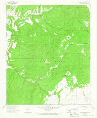
1963 · Telephone Canyon
USGS Topo · 1:24,000
1965 · Reserve
USGS Topo · 1:24,000