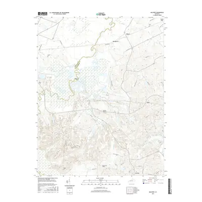
2016 Map of Millport
USGS Topo · Published 2016About this map
The Pond River meanders along the jurisdictional boundary of Hopkins and Muhlenberg counties, defining a landscape of low-lying wetlands and dissected uplands in this western Kentucky region. Small agricultural and residential clusters like Millport, Stringtown, and Earles are connected by a network of rural routes, including Phillipstown Rd and Vogue Rd. The terrain is marked by significant elevations such as Harpes Hill, while broader lowlands are identified as Harpes Hill Valley.
Find a feature on this map
48 named features on this map. Tap any name to fly to it.
Don’t see what you’re looking for? This feature index may not catch every label — zoom into the map to look around manually.
Map Details
Editions of this 2016 Millport Map
This is the sole edition of this map. No revisions or reprints were ever made.
Other maps of this area

1909 · Madisonville
USGS Topo · 1:62,500

1909 · Central City
USGS Topo · 1:62,500

1911 · Drakesboro
USGS Topo · 1:48,000

1912 · Nortonville
USGS Topo · 1:62,500

1913 · Drakesboro
USGS Topo · 1:62,500

1952 · Livermore
USGS Topo · 1:24,000

1952 · Sacramento
USGS Topo · 1:24,000

1952 · Greenville
USGS Topo · 1:24,000

1952 · Hanson
USGS Topo · 1:24,000

1953 · Nortonville
USGS Topo · 1:24,000