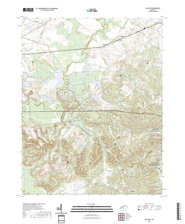
2022 Map of Millport
USGS Topo · Published 2022About this map
The Pond River snakes along the boundary of Hopkins and Muhlenberg Counties, defining a landscape of low-lying wetlands and dissected uplands. This 2022 survey captures several longstanding rural communities including Millport, Lynn City, Earles, and Graham, each surrounded by a network of local cemeteries that reflect generations of settlement. Genealogists will find numerous family and church burial grounds such as Old Shiloh Cem, Mercer Cem, and Pleasant Hill Baptist Church Cem. The topography is punctuated by Harpes Hill Valley and Harps Hill, while the region's industrial footprint is visible through specialized infrastructure like Vogue Haul Rd and Crescent Haul Rd. These heavy-use transit corridors cut across the traditional agricultural and timber lands drained by Isaacs Creek and Brier Cr.
Find a feature on this map
66 named features on this map. Tap any name to fly to it.
Don’t see what you’re looking for? This feature index may not catch every label — zoom into the map to look around manually.
Map Details
Editions of this 2022 Millport Map
This is the sole edition of this map. No revisions or reprints were ever made.
Other maps of this area

1909 · Madisonville
USGS Topo · 1:62,500

1909 · Central City
USGS Topo · 1:62,500

1911 · Drakesboro
USGS Topo · 1:48,000

1912 · Nortonville
USGS Topo · 1:62,500

1913 · Drakesboro
USGS Topo · 1:62,500

1952 · Livermore
USGS Topo · 1:24,000

1952 · Sacramento
USGS Topo · 1:24,000

1952 · Greenville
USGS Topo · 1:24,000

1952 · Hanson
USGS Topo · 1:24,000

1953 · Nortonville
USGS Topo · 1:24,000