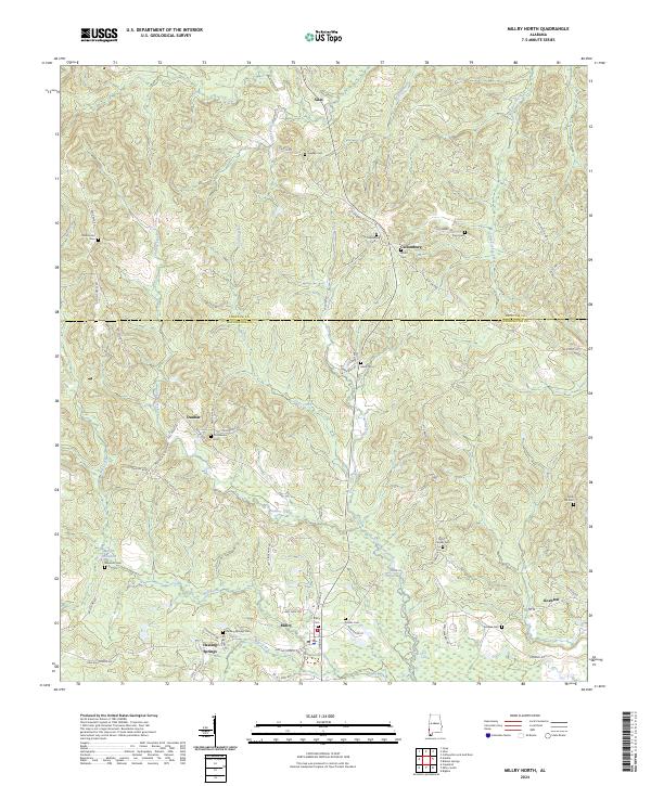
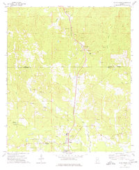
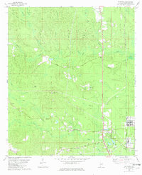
2024 Map of Millry North
USGS Topo · Published 2024About this map
Healing Springs and Millry anchor the southern portion of this landscape near the Choctaw and Washington County line. This region of Southwest Alabama is defined by a dense network of small family burial grounds and winding watercourses like Crosbys Creek and Brier Creek. The settlement pattern follows established routes such as County Road 34 and Healing Springs Avenue, connecting small communities like Koenton and Dunbar.
Find a feature on this map
67 named features on this map. Tap any name to fly to it.
Don’t see what you’re looking for? This feature index may not catch every label — zoom into the map to look around manually.
Map Details
Editions of this 2024 Millry North Map
This is the sole edition of this map. No revisions or reprints were ever made.
Historical Maps of Healing Springs Through Time
25 maps found
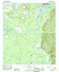
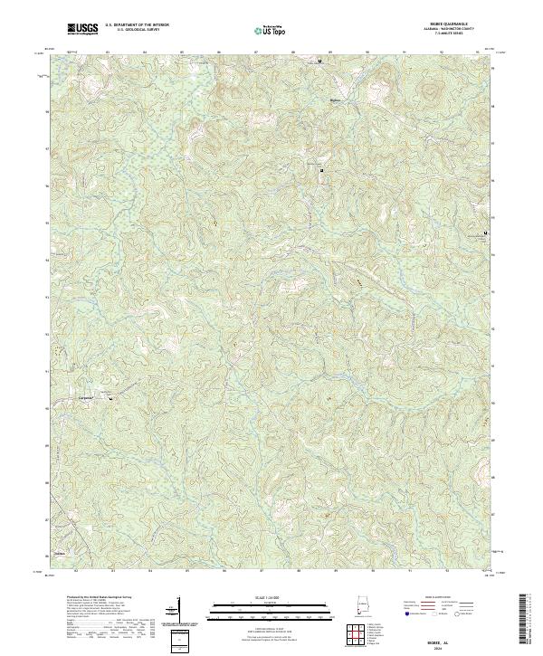
1971 Bigbee
Washington County, AL
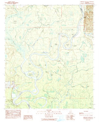
1971 Bladon Springs
Washington County, AL
1972 Saint Stephens
Washington County, AL
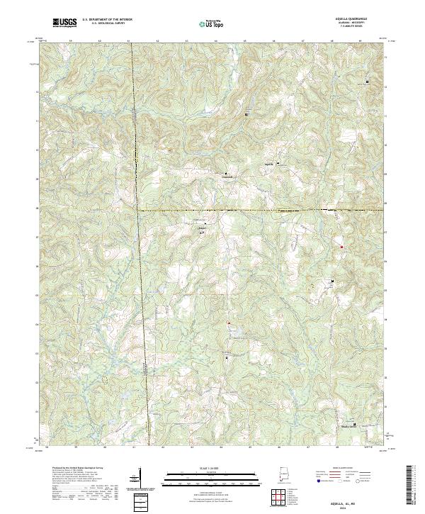
1974 Aquilla
Washington County, AL
1974 Copeland
Washington County, AL
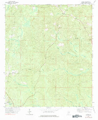
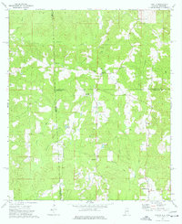
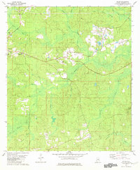
1974 Millry North
Washington County, AL
1974 Millry South
Washington County, AL
1982 Mc Intosh
Washington County, AL
1982 Rutan
Washington County, AL
1982 Seaboard
Washington County, AL
1982 Wagarville
Washington County, AL
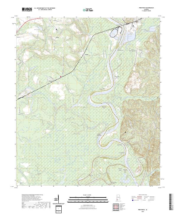
1983 Prestwick
Washington County, AL
1984 Ginhouse Island
Washington County, AL
2024 Aquilla
Washington County, AL
2024 Bigbee
Washington County, AL
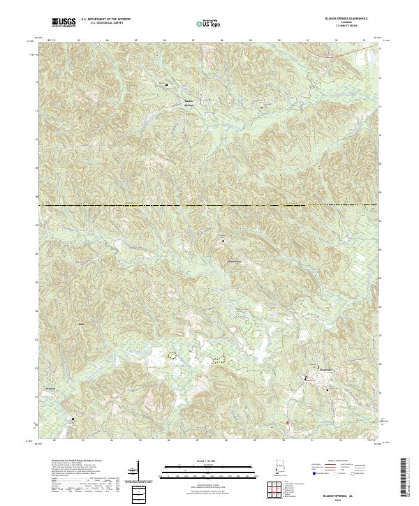
2024 Bladon Springs
Washington County, AL
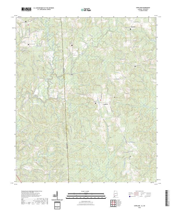
2024 Copeland
Washington County, AL
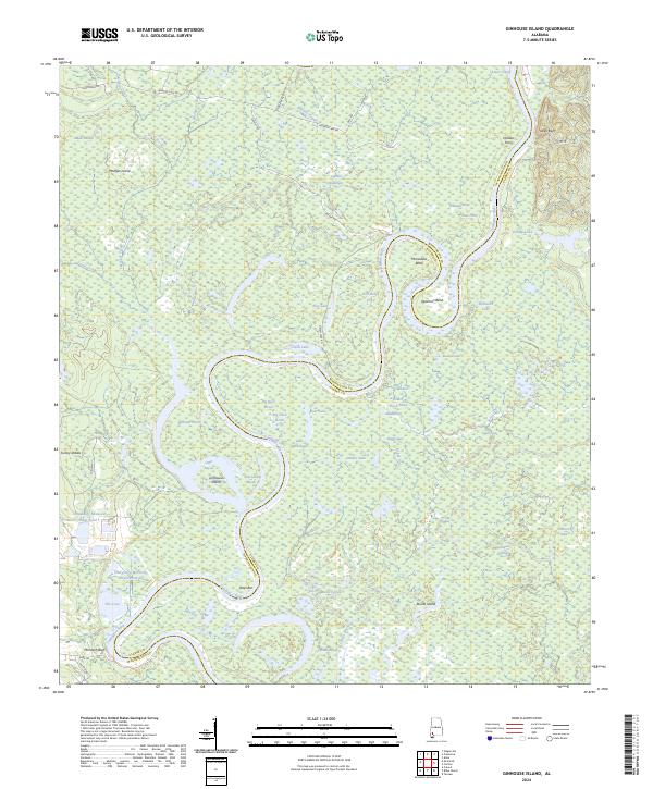
2024 Ginhouse Island
Washington County, AL
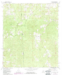
2024 Millry North
Washington County, AL
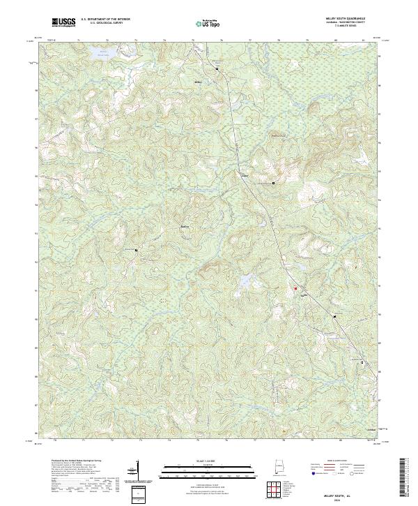
2024 Millry South
Washington County, AL
2024 Prestwick
Washington County, AL
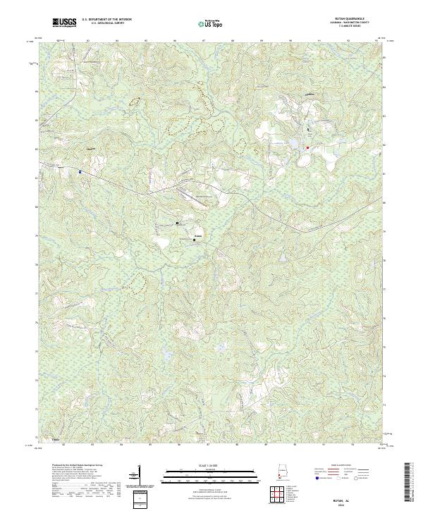
2024 Rutan
Washington County, AL
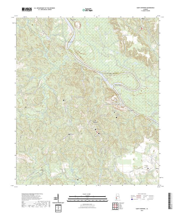
2024 Saint Stephens
Washington County, AL
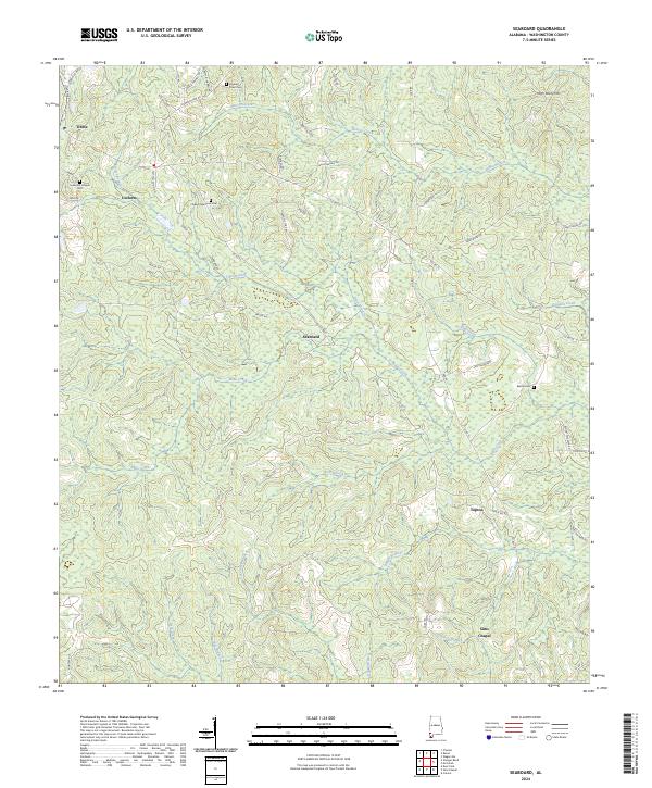
2024 Seaboard
Washington County, AL
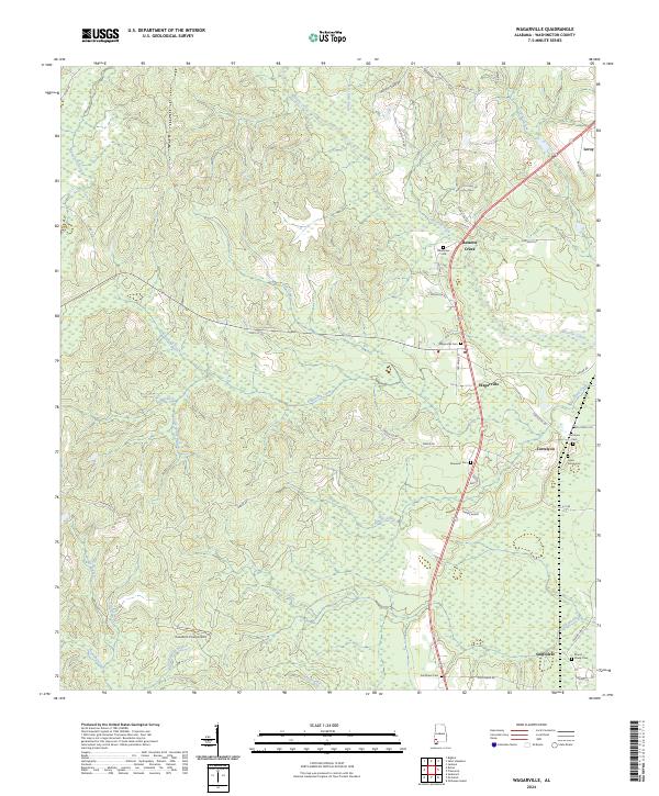
2024 Wagarville
Washington County, AL