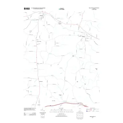
2013 Map of Milltown
USGS Topo · Published 2013About this map
Milltown and Marengo anchor this pocket of Southern Indiana, where the Blue River carves a winding path through a landscape of distinct knobs and hollows. The river's dramatic meander creates The Narrows, a prominent geological feature just south of Milltown. Local industry and commerce of the early 21st century are rooted in the area's geography, seen in the location of Sharps Mill downstream and the cluster of settlements like Hogtown and Carefree along the regional road network.
Find a feature on this map
125 named features on this map. Tap any name to fly to it.
Don’t see what you’re looking for? This feature index may not catch every label — zoom into the map to look around manually.
Map Details
Editions of this 2013 Milltown Map
This is the sole edition of this map. No revisions or reprints were ever made.
Other maps of this area

1931 · Corydon
USGS Topo · 1:62,500

1944 · Corydon West
USGS Topo · 1:24,000

1946 · Leavenworth
USGS Topo · 1:24,000

1946 · Depauw
USGS Topo · 1:24,000

1947 · Leavenworth
USGS Topo · 1:24,000

1947 · Corydon West
USGS Topo · 1:24,000

1947 · Hardinsburg
USGS Topo · 1:24,000

1948 · Milltown
USGS Topo · 1:24,000

1949 · Hardinsburg
USGS Topo · 1:24,000

1950 · Beechwood
USGS Topo · 1:24,000