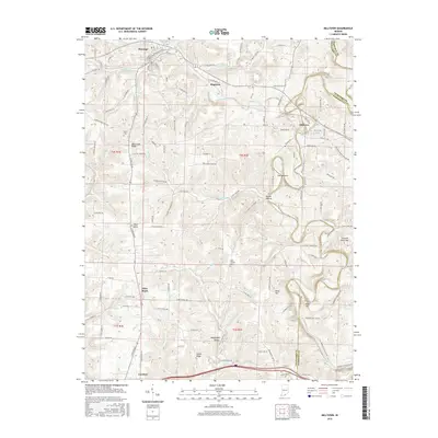
2016 Map of Milltown
USGS Topo · Published 2016About this map
Milltown and Marengo anchor this survey of the southern Indiana landscape, where the Blue River carves a winding path through the borderlands of Crawford and Harrison Counties. The terrain is defined by distinct topographical markers such as The Narrows, Devils Hollow, and the prominent White Oak Ridge. Smaller settlements like Hogtown and Carefree are situated along a network of creek drainages including Whiskey Run, Slick Run, and Huffman Branch. For those tracing local heritage, the map identifies family-named landmarks and rural burial sites such as White Cemetery and Saint Josephs Cemetery. The geography reveals a legacy of upland ridges and narrow hollows, with elevations like Pilot Knob and Duke Hill overlooking the diverse water systems that have shaped this region's development.
Find a feature on this map
113 named features on this map. Tap any name to fly to it.
Don’t see what you’re looking for? This feature index may not catch every label — zoom into the map to look around manually.
Map Details
Editions of this 2016 Milltown Map
This is the sole edition of this map. No revisions or reprints were ever made.
Other maps of this area

1931 · Corydon
USGS Topo · 1:62,500

1944 · Corydon West
USGS Topo · 1:24,000

1946 · Leavenworth
USGS Topo · 1:24,000

1946 · Depauw
USGS Topo · 1:24,000

1947 · Leavenworth
USGS Topo · 1:24,000

1947 · Corydon West
USGS Topo · 1:24,000

1947 · Hardinsburg
USGS Topo · 1:24,000

1948 · Milltown
USGS Topo · 1:24,000

1949 · Hardinsburg
USGS Topo · 1:24,000

1950 · Beechwood
USGS Topo · 1:24,000