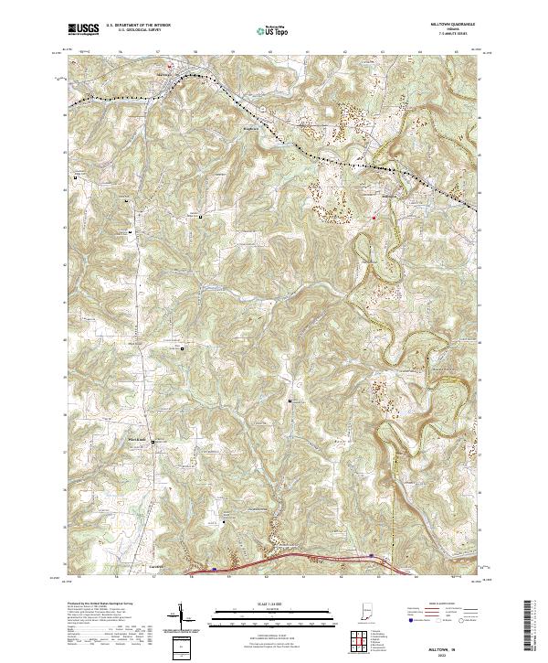
2022 Map of Milltown
USGS Topo · Published 2022About this map
Milltown and Marengo serve as the primary hubs in this corner of Crawford County, where the Blue River and its various tributaries carve a complex drainage system through the Indiana landscape. The rural character of the area is defined by a high concentration of family and church-affiliated burial grounds, including the St Joseph Catholic Church Cem and the Shafer Ridge Church Cem. Small settlements like Hogtown and Carefree are connected by a network of ridge roads, such as White Oak Ridge and Shafer Ridge, which navigate the elevation changes around prominent landmarks like Pilot Knob and Buzzard Roost Hill. The naming conventions of the waterways, such as Whiskey Run, Brandywine Fork, and Devils Hollow, reflect the local heritage and the rugged nature of the terrain. This document provides a look at the modern road network and the enduring placement of these early crossroads communities.
Find a feature on this map
125 named features on this map. Tap any name to fly to it.
Don’t see what you’re looking for? This feature index may not catch every label — zoom into the map to look around manually.
Map Details
Editions of this 2022 Milltown Map
This is the sole edition of this map. No revisions or reprints were ever made.
Other maps of this area

1931 · Corydon
USGS Topo · 1:62,500

1944 · Corydon West
USGS Topo · 1:24,000

1946 · Leavenworth
USGS Topo · 1:24,000

1946 · Depauw
USGS Topo · 1:24,000

1947 · Leavenworth
USGS Topo · 1:24,000

1947 · Corydon West
USGS Topo · 1:24,000

1947 · Hardinsburg
USGS Topo · 1:24,000

1948 · Milltown
USGS Topo · 1:24,000

1949 · Hardinsburg
USGS Topo · 1:24,000

1950 · Beechwood
USGS Topo · 1:24,000