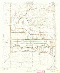
1933 Map of Millux
USGS Topo · Published 1933About this map
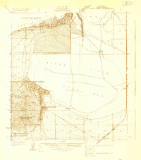
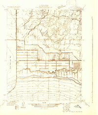
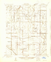
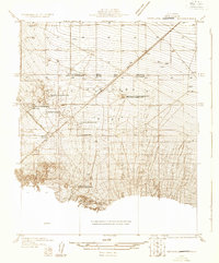
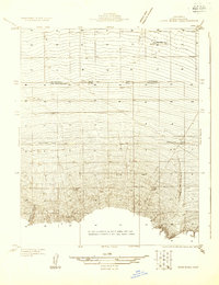
Agricultural development and hydraulic engineering dominate this landscape south of Bakersfield, where the Sunset Ry cuts a straight line through the valley floor. The map documents an intricate network of irrigation and drainage essential to local ranching and farming, including the Stine Canal, Alejandro Canal, and the parallel Old Rim Ditch and New Rim Ditch. These man-made waterways define the reclamation of the area surrounding the Buena Vista Lake Bed.
Find a feature on this map
25 named features on this map. Tap any name to fly to it.
Don’t see what you’re looking for? This feature index may not catch every label — zoom into the map to look around manually.
Map Details
Editions of this 1933 Millux Map
3 editions found

Other maps of this area

1910 · Buena Vista Lake
USGS Topo · 1:125,000

1912 · Buena Vista Lake
USGS Topo · 1:125,000
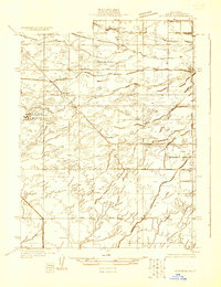
1929 · Stevens
USGS Topo · 1:31,680
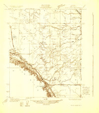
1929 · Coles Levee
USGS Topo · 1:31,680
1929 · Mouth of Kern
USGS Topo · 1:31,680
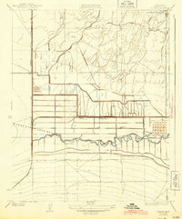
1930 · Millux
USGS Topo · 1:31,680
1930 · Conner
USGS Topo · 1:31,680
1931 · Pentland Junction
USGS Topo · 1:31,680
1931 · Hayes Ranch
USGS Topo · 1:31,680
1932 · Mouth of Kern
USGS Topo · 1:31,680