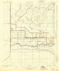
1933 Map of Millux
USGS Topo · Published 1943About this map
The expansive Buena Vista Lake Bed dominates the central topography of this Southern San Joaquin Valley survey, showing a landscape defined by industrial-scale water management during the early 1930s. The intricate network of the Stine Canal, Buena Vista Canal, and both the Old Rim Ditch and New Rim Ditch illustrates the era's transformation of the basin for agricultural use. Settlements are sparse but strategically located, such as Millux and Paloma, which sits near the Paloma Sch.
Find a feature on this map
20 named features on this map. Tap any name to fly to it.
Don’t see what you’re looking for? This feature index may not catch every label — zoom into the map to look around manually.
Map Details
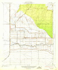
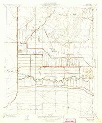
Editions of this 1933 Millux Map
3 editions found
Other maps of this area

1910 · Buena Vista Lake
USGS Topo · 1:125,000

1912 · Buena Vista Lake
USGS Topo · 1:125,000

1929 · Stevens
USGS Topo · 1:31,680

1929 · Coles Levee
USGS Topo · 1:31,680

1929 · Mouth of Kern
USGS Topo · 1:31,680

1930 · Millux
USGS Topo · 1:31,680

1930 · Conner
USGS Topo · 1:31,680

1931 · Pentland Junction
USGS Topo · 1:31,680

1931 · Hayes Ranch
USGS Topo · 1:31,680

1932 · Mouth of Kern
USGS Topo · 1:31,680