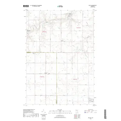
2019 Map of Millville
USGS Topo · Published 2019About this map
The Zumbro River snakes through the northern reach of this landscape, carving a valley where the settlements of Millville, Jarrett, and Hammond are established. This 2019 survey documents a rural transition between Wabasha and Olmsted Counties, marked by a dense network of township and county roads that connect isolated farmsteads and historic community centers. Further south, the map details the upland prairie terrain where Potsdam and Bremen sit at the intersection of local routes like Co RD 11.
Find a feature on this map
77 named features on this map. Tap any name to fly to it.
Don’t see what you’re looking for? This feature index may not catch every label — zoom into the map to look around manually.
Map Details
Editions of this 2019 Millville Map
This is the sole edition of this map. No revisions or reprints were ever made.
Other maps of this area

1932 · Wabasha
USGS Topo · 1:62,500

1934 · Plainview
USGS Topo · 1:62,500

1935 · Rochester
USGS Topo · 1:48,000

1938 · Plainview
USGS Topo · 1:62,500

1939 · Rochester
USGS Topo · 1:62,500

1951 · Wabasha
USGS Topo · 1:62,500

1951 · Lake City
USGS Topo · 1:62,500

1953 · Saint Paul
USGS Topo · 1:250,000

1959 · Saint Paul
USGS Topo · 1:250,000
1972 · Plainview
USGS Topo · 1:24,000