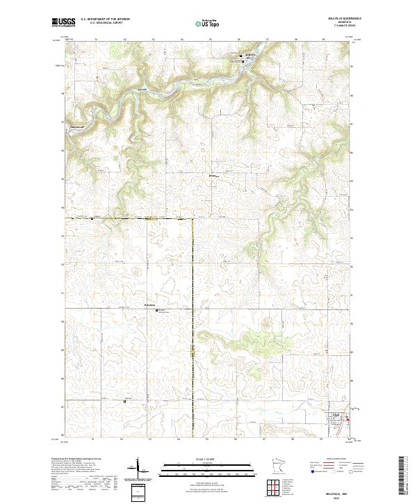
2022 Map of Millville
USGS Topo · Published 2022About this map
The Zumbro River snakes through the northern hills of this landscape, carving a deep valley that defines the local geography. Along its banks, the small settlements of Millville, Hammond, and Jarrett anchor the river-bottom economy, connected by routes like Co Rd 11. The topography here is marked by significant elevation changes, with numerous tributaries such as Silver Spring Cr and Long Cr cutting through the uplands.
Find a feature on this map
72 named features on this map. Tap any name to fly to it.
Don’t see what you’re looking for? This feature index may not catch every label — zoom into the map to look around manually.
Map Details
Editions of this 2022 Millville Map
This is the sole edition of this map. No revisions or reprints were ever made.
Other maps of this area

1932 · Wabasha
USGS Topo · 1:62,500

1934 · Plainview
USGS Topo · 1:62,500

1935 · Rochester
USGS Topo · 1:48,000

1938 · Plainview
USGS Topo · 1:62,500

1939 · Rochester
USGS Topo · 1:62,500

1951 · Wabasha
USGS Topo · 1:62,500

1951 · Lake City
USGS Topo · 1:62,500

1953 · Saint Paul
USGS Topo · 1:250,000

1959 · Saint Paul
USGS Topo · 1:250,000
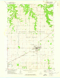
1972 · Plainview
USGS Topo · 1:24,000