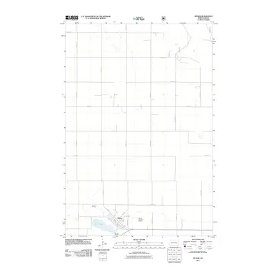
2011 Map of Milnor
USGS Topo · Published 2011About this map
Milnor serves as the focal point of this rural Sargent County landscape, situated at the intersection of a grid-iron road network and the local rail corridor. The town's layout is clearly defined by historical thoroughfares like Main St and 1st St, with the Milnor Municipal Airport positioned just to the east. The presence of both Calvary Cemetery on the northwestern edge and Lakeside Cemetery to the south near the shores of Storm Lake offers significant points of interest for genealogists tracing local families. The surrounding terrain is dominated by a systematic section-line road system, including routes like 72nd St SE and 140th Ave SE, reflecting the area's agricultural heritage and organized land distribution typical of the North Dakota plains.
Find a feature on this map
28 named features on this map. Tap any name to fly to it.
Don’t see what you’re looking for? This feature index may not catch every label — zoom into the map to look around manually.
Map Details
Editions of this 2011 Milnor Map
This is the sole edition of this map. No revisions or reprints were ever made.
Other maps of this area

1907 · Wyndmere
USGS Topo · 1:125,000

1953 · Fargo
USGS Topo · 1:250,000

1956 · Fargo
USGS Topo · 1:250,000

1958 · Cayuga NW
USGS Topo · 1:24,000

1958 · Hamlin
USGS Topo · 1:24,000

1960 · Lisbon SE
USGS Topo · 1:24,000

1960 · De Lamere
USGS Topo · 1:24,000

1960 · Lisbon NE
USGS Topo · 1:24,000

1960 · Venlo
USGS Topo · 1:24,000

1960 · Milnor
USGS Topo · 1:24,000