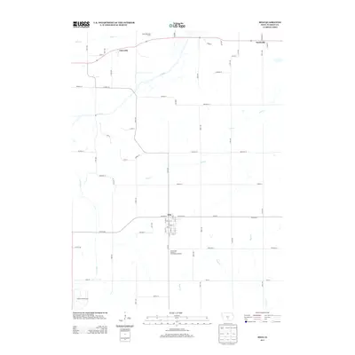
2013 Map of Milo
USGS Topo · Published 2013About this map
The town of Milo serves as the central hub of this Warren County landscape, situated at the intersection of Co Hwy-S23 and Co Hwy-G58. The settlement layout shows a dense grid of streets including Main St and Belmont St, bordered to the south by the Prairie View Preserve and Butterfly Garden. This rural geography is defined by a dendritic network of waterways, with the S River and Coal Cr carving through the agricultural terrain toward the northern boundary near Ackworth.
Find a feature on this map
39 named features on this map. Tap any name to fly to it.
Don’t see what you’re looking for? This feature index may not catch every label — zoom into the map to look around manually.
Map Details
Editions of this 2013 Milo Map
This is the sole edition of this map. No revisions or reprints were ever made.
Other maps of this area

1910 · Milo
USGS Topo · 1:62,500

1918 · Chariton
USGS Topo · 1:62,500

1931 · Indianola
USGS Topo · 1:62,500

1950 · New Virginia
USGS Topo · 1:62,500

1952 · New Virginia
USGS Topo · 1:62,500

1954 · Des Moines
USGS Topo · 1:250,000

1956 · Des Moines
USGS Topo · 1:250,000

1957 · Des Moines
USGS Topo · 1:250,000

1965 · Pleasantville
USGS Topo · 1:24,000

1965 · Milo
USGS Topo · 1:24,000