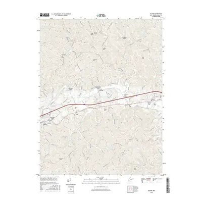
2016 Map of Milton
USGS Topo · Published 2016About this map
The Mud River meanders through this section of Cabell County, defining the corridor where the historical community of Milton and the unincorporated area of Ona are situated. The landscape is characterized by a high density of small family and community burial grounds, such as the Chapman Family Cem, Arthur Cem, and Love Cem, which provide significant data points for genealogical research. Notable infrastructure includes a variety of crossings ranging from the Mud River Covered Bridge to the modern William Bradley Fulks Memorial Bridge.
Find a feature on this map
154 named features on this map. Tap any name to fly to it.
Don’t see what you’re looking for? This feature index may not catch every label — zoom into the map to look around manually.
Map Details
Editions of this 2016 Milton Map
This is the sole edition of this map. No revisions or reprints were ever made.
Other maps of this area

1892 · Huntington
USGS Topo · 1:125,000

1898 · Huntington
USGS Topo · 1:125,000

1901 · Guyandot
USGS Topo · 1:62,500

1902 · Guyandot
USGS Topo · 1:62,500

1902 · Milton
USGS Topo · 1:62,500

1906 · Athalia
USGS Topo · 1:62,500

1906 · Glenwood
USGS Topo · 1:62,500

1908 · Athalia
USGS Topo · 1:62,500

1908 · Glenwood
USGS Topo · 1:62,500

1931 · Milton
USGS Topo · 1:62,500