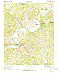
1968 Map of Milton
USGS Topo · Published 1972About this map
The Dan River serves as a winding natural boundary for the rural landscape of Caswell County, North Carolina, and Pittsylvania and Halifax counties in Virginia. At the center of the sheet, the town of Milton is situated just south of the river, while the Virginia International Racetrack occupies a distinctive loop in the river to the northwest. This late 1960s survey illustrates a region defined by its small crossroads settlements and numerous rural congregations, including Oak Level Ch and New Haven Ch.
Find a feature on this map
39 named features on this map. Tap any name to fly to it.
Don’t see what you’re looking for? This feature index may not catch every label — zoom into the map to look around manually.
Map Details
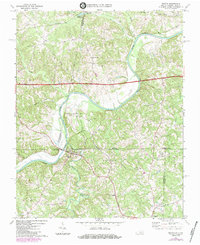
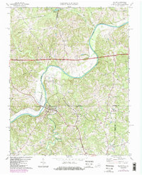
Editions of this 1968 Milton Map
Other maps of this area

1923 · Danville
USGS Topo · 1:48,000

1925 · Danville
USGS Topo · 1:62,500

1952 · Milton
USGS Topo · 1:62,500

1953 · Greensboro
USGS Topo · 1:250,000

1954 · Greensboro
USGS Topo · 1:250,000

1956 · Milton
USGS Topo · 1:62,500

1962 · Greensboro
USGS Topo · 1:250,000
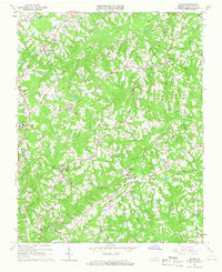
1964 · Blairs
USGS Topo · 1:24,000

1965 · Ringgold
USGS Topo · 1:24,000

1966 · Greensboro
USGS Topo · 1:250,000