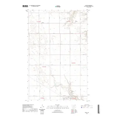
2020 Map of Milton
USGS Topo · Published 2020About this map
Milton sits at the southern edge of this Cavalier County landscape, serving as a hub for the surrounding agricultural townships. The terrain is defined by the gentle drainage of the Tongue River in the northwest and the winding course of the N Br Park River through the center, while Cart Cr clips the eastern border. This map is particularly notable for its concentration of rural religious and burial sites, which reflect the Scandinavian and Icelandic heritage of the region's settlers.
Find a feature on this map
38 named features on this map. Tap any name to fly to it.
Don’t see what you’re looking for? This feature index may not catch every label — zoom into the map to look around manually.
Map Details
Editions of this 2020 Milton Map
This is the sole edition of this map. No revisions or reprints were ever made.
Other maps of this area

1918 · Walhalla
USGS Topo · 1:62,500

1943 · Walhalla
USGS Topo · 1:62,500

1952 · Thief River Falls
USGS Topo · 1:250,000

1953 · Devils Lake
USGS Topo · 1:250,000

1956 · Thief River Falls
USGS Topo · 1:250,000

1956 · Devils Lake
USGS Topo · 1:250,000

1957 · Thief River Falls
USGS Topo · 1:250,000
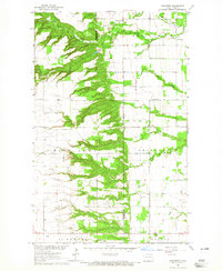
1964 · Concrete
USGS Topo · 1:24,000
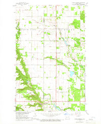
1964 · Hanks Corner
USGS Topo · 1:24,000

1967 · Thief River Falls
USGS Topo · 1:250,000