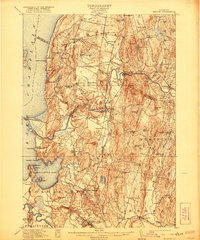
1915 Map of Milton
USGS Topo · Published 1921About this map
Fort Ethan Allen stands as a prominent military installation at the southern edge of this landscape, anchoring a region defined by the complex shoreline of Lake Champlain. The Central Vermont railroad cuts a north-south path through the center of the sheet, connecting the industrial and agricultural centers of Milton and Georgia Center. This corridor follows the Lamoille River valley, where the water's path towards Malletts Bay dictated the placement of early settlements and mills.
Find a feature on this map
94 named features on this map. Tap any name to fly to it.
Don’t see what you’re looking for? This feature index may not catch every label — zoom into the map to look around manually.
Map Details
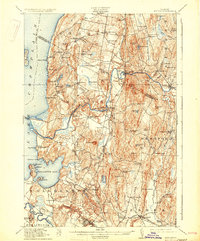
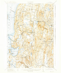
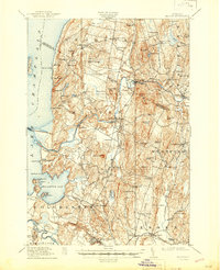
Editions of this 1915 Milton Map
5 editions found
Other maps of this area

1894 · Plattsburg
USGS Topo · 1:62,500

1895 · Rouse Point
USGS Topo · 1:62,500

1895 · Willsboro
USGS Topo · 1:62,500

1906 · Plattsburg
USGS Topo · 1:62,500

1906 · Burlington
USGS Topo · 1:62,500

1907 · Rouse Point
USGS Topo · 1:62,500

1913 · Milton
USGS Topo · 1:48,000

1914 · St. Albans
USGS Topo · 1:48,000

1915 · Milton
USGS Topo · 1:62,500

1916 · St. Albans
USGS Topo · 1:62,500