
1915 Map of Milton
USGS Topo · Published 1915About this map
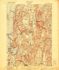
Malletts Bay and the shoreline of Lake Champlain anchor this 1913 survey, which reveals a landscape of lakeside camps and inland farming hamlets. The Central Vermont RR cuts through the center of the region, facilitating trade for towns like Milton and East Georgia. The map is particularly rich in early 20th-century educational infrastructure, documenting numerous numbered district schools alongside named institutions like Hardscrabble School and Beecher School. A significant military presence is visible at Fort Ethan Allen near the southern border, while communal land use is noted at the Town Farm in Milton. The transition from water to land is marked by landmarks such as the Sand Bar Bridge and numerous named points and islands, including Marble I and Coates I, highlighting the importance of the lake to local geography and early summer residency at locations like Camp Watson and Camp Rich.
Find a feature on this map
93 named features on this map. Tap any name to fly to it.
Don’t see what you’re looking for? This feature index may not catch every label — zoom into the map to look around manually.
Map Details
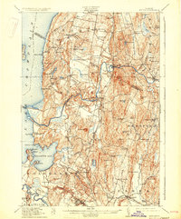
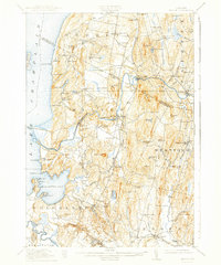
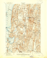
Editions of this 1915 Milton Map
5 editions found
Other maps of this area

1894 · Plattsburg
USGS Topo · 1:62,500

1895 · Rouse Point
USGS Topo · 1:62,500

1895 · Willsboro
USGS Topo · 1:62,500

1906 · Plattsburg
USGS Topo · 1:62,500

1906 · Burlington
USGS Topo · 1:62,500

1907 · Rouse Point
USGS Topo · 1:62,500

1913 · Milton
USGS Topo · 1:48,000

1914 · St. Albans
USGS Topo · 1:48,000

1916 · St. Albans
USGS Topo · 1:62,500

1919 · Burlington
USGS Topo · 1:62,500