
1924 Map of Milton
USGS Topo · Published 1924About this map
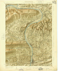
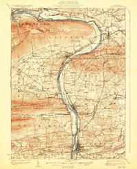
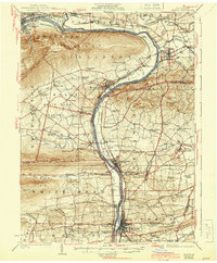
West Branch Susquehanna River serves as the central artery for this region of Central Pennsylvania, where the industrial legacy of the early 20th century is etched into the landscape. Heavy rail infrastructure, including the Pennsylvania RR and Reading RR, follows the riverbanks to serve bustling valley towns like Milton and Watsontown. The survey captures a moment of transition between mountainous ridges and fertile valleys, where specialized landmarks like the Shaffers Path Tower and the White Deer Dam indicate a landscape managed for both timber and water resources.
Find a feature on this map
123 named features on this map. Tap any name to fly to it.
Don’t see what you’re looking for? This feature index may not catch every label — zoom into the map to look around manually.
Map Details
Editions of this 1924 Milton Map
4 editions found
Other maps of this area

1892 · Shamokin
USGS Topo · 1:62,500

1893 · Sunbury
USGS Topo · 1:62,500

1893 · Shamokin
USGS Topo · 1:62,500

1921 · Williamsport
USGS Topo · 1:48,000

1921 · Trout Run
USGS Topo · 1:62,500

1923 · Trout Run
USGS Topo · 1:62,500

1923 · Williamsport
USGS Topo · 1:62,500

1927 · Eagles Mere
USGS Topo · 1:48,000

1930 · Warrensville
USGS Topo · 1:62,500

1932 · Eagle Mere
USGS Topo · 1:62,500
Featured Places
- Williamsport, PA
- South Williamsport, PA
- Montoursville, PA
- White Deer Township, PA
- Kenmar, Loyalsock Township