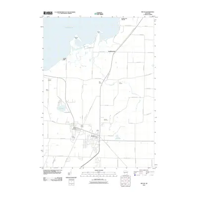
2010 Map of Milton
USGS Topo · Published 2010About this map
The town of Milton and the historic convergence at Milton Junction serve as the primary hubs in this southern Wisconsin landscape. The map details the transition from the concentrated residential blocks of the village to the expansive wetlands and agricultural fields surrounding Lake Koshkonong to the north. Water dominates the northern geography, defined by Stony Point, Thiebeau Point, and Charlie Bluff, while Otter Creek meanders southward through the countryside towards Camp Wakonda.
Find a feature on this map
57 named features on this map. Tap any name to fly to it.
Don’t see what you’re looking for? This feature index may not catch every label — zoom into the map to look around manually.
Map Details
Editions of this 2010 Milton Map
This is the sole edition of this map. No revisions or reprints were ever made.
Other maps of this area

1890 · Stoughton
USGS Topo · 1:62,500

1891 · Koshkonong
USGS Topo · 1:62,500

1891 · Janesville
USGS Topo · 1:62,500

1893 · Janesville
USGS Topo · 1:62,500

1893 · Shopiere
USGS Topo · 1:62,500

1894 · Koshkonong
USGS Topo · 1:62,500

1906 · Koshkonong
USGS Topo · 1:62,500

1954 · Rockford
USGS Topo · 1:250,000

1955 · Rockford
USGS Topo · 1:250,000

1958 · Rockford
USGS Topo · 1:250,000