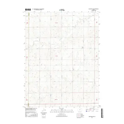
2016 Map of Miltonvale NE
USGS Topo · Published 2016About this map
Agricultural lands along the Cloud County and Clay County line are defined by a rhythmic grid of rural roads and meandering drainage systems. Significant watercourses such as Mulberry Cr and the N Br Five Cr carve through the section lines, shaping the placement of local thoroughfares like Buffalo Rd and Elk Rd. Two primary burial grounds, Bloom Township Cem and Lincoln Cem, serve as the principal historical markers for the local farming community, located miles apart amidst the open fields of north-central Kansas. The terrain is a network of intermittent streams, including Mud Cr, which feed into larger systems across the undulating landscape. This 2016 survey illustrates the persistent layout of section-line roads, such as 24th Rd and Granite Rd, that have dictated the region's movement and land division for generations.
Find a feature on this map
27 named features on this map. Tap any name to fly to it.
Don’t see what you’re looking for? This feature index may not catch every label — zoom into the map to look around manually.
Map Details
Editions of this 2016 Miltonvale NE Map
This is the sole edition of this map. No revisions or reprints were ever made.
Other maps of this area

1891 · Clay Center
USGS Topo · 1:125,000

1893 · Washington
USGS Topo · 1:125,000

1955 · Manhattan
USGS Topo · 1:250,000

1956 · Manhattan
USGS Topo · 1:250,000

1957 · Manhattan
USGS Topo · 1:250,000

1964 · Clay Center NW
USGS Topo · 1:24,000

1964 · Clay Center SW
USGS Topo · 1:24,000

1964 · Idana
USGS Topo · 1:24,000

1964 · Miltonvale
USGS Topo · 1:24,000

1964 · Miltonvale NE
USGS Topo · 1:24,000