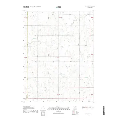
2018 Map of Miltonvale NE
USGS Topo · Published 2018About this map
Mulberry Creek and its various tributaries, including Mud Creek, wind through the sectioned agricultural lands of this northern Kansas landscape at the border of Cloud and Clay counties. The grid of rural routes, such as Buffalo Road and Deer Trail Road, defines the movement across this terrain, reflecting the long-established Public Land Survey System divisions that have dictated farming and settlement patterns for generations. For local historians and genealogists, the placement of Bloom Township Cemetery and Lincoln Cemetery provides critical focal points for tracing family histories within the rural townships. The map clearly delineates the Cloud County Clay County Line Road, marking the political boundary where the two jurisdictions meet amidst a landscape of drainage patterns like North Branch Five Creek.
Find a feature on this map
38 named features on this map. Tap any name to fly to it.
Don’t see what you’re looking for? This feature index may not catch every label — zoom into the map to look around manually.
Map Details
Editions of this 2018 Miltonvale NE Map
This is the sole edition of this map. No revisions or reprints were ever made.
Other maps of this area

1891 · Clay Center
USGS Topo · 1:125,000

1893 · Washington
USGS Topo · 1:125,000

1955 · Manhattan
USGS Topo · 1:250,000

1956 · Manhattan
USGS Topo · 1:250,000

1957 · Manhattan
USGS Topo · 1:250,000

1964 · Clay Center NW
USGS Topo · 1:24,000

1964 · Clay Center SW
USGS Topo · 1:24,000

1964 · Idana
USGS Topo · 1:24,000

1964 · Miltonvale
USGS Topo · 1:24,000

1964 · Miltonvale NE
USGS Topo · 1:24,000