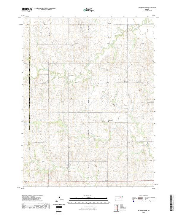
2022 Map of Miltonvale NE
USGS Topo · Published 2022About this map
The rolling agricultural landscape of eastern Kansas is defined by the headwaters of the Mulberry Cr and the branching tributaries of N Br Five Cr. In this rural expanse of Clay County, the land is meticulously divided by a grid of section roads including Buffalo Rd and Deer Trail Rd, reflecting the enduring legacy of the Public Land Survey System. Two small burial grounds, Bloom Cem and Lincoln Cem, serve as the primary markers of local heritage for genealogy researchers tracking the early residents of this prairie region. The drainage patterns of Mud Cr and S Br Five Cr carve subtle valleys through the terrain, illustrating the natural watershed that dictated the placement of these late-twentieth-century farmsteads and rural routes.
Find a feature on this map
39 named features on this map. Tap any name to fly to it.
Don’t see what you’re looking for? This feature index may not catch every label — zoom into the map to look around manually.
Map Details
Editions of this 2022 Miltonvale NE Map
This is the sole edition of this map. No revisions or reprints were ever made.
Other maps of this area

1891 · Clay Center
USGS Topo · 1:125,000

1893 · Washington
USGS Topo · 1:125,000

1955 · Manhattan
USGS Topo · 1:250,000

1956 · Manhattan
USGS Topo · 1:250,000

1957 · Manhattan
USGS Topo · 1:250,000

1964 · Clay Center NW
USGS Topo · 1:24,000

1964 · Clay Center SW
USGS Topo · 1:24,000

1964 · Idana
USGS Topo · 1:24,000

1964 · Miltonvale
USGS Topo · 1:24,000

1964 · Miltonvale NE
USGS Topo · 1:24,000