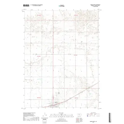
2017 Map of Minden North
USGS Topo · Published 2017About this map
Minden anchors the southern edge of this Kearney County landscape, where the northern residential and street grids reach toward the open agricultural reaches of the Nebraska plains. This 2017 survey shows the intensive irrigation network vital to local farming, specifically the Phelps County Canal and various drainage features including Lost Cr and Dry Cr. The layout of section roads follows a strict grid, from 30 RD to 36 RD, punctuated by local history markers like the Liberty Cem and the White Hill Cem. To the southeast, the Nielsen Reservoir provides a localized water catchment point near Sand Cr. The presence of the Pioneer Village Field airfield north of the town center reflects the region's connection to aviation and its role as a regional hub.
Find a feature on this map
39 named features on this map. Tap any name to fly to it.
Don’t see what you’re looking for? This feature index may not catch every label — zoom into the map to look around manually.
Map Details
Editions of this 2017 Minden North Map
This is the sole edition of this map. No revisions or reprints were ever made.
Other maps of this area

1894 · Kearney
USGS Topo · 1:62,500

1894 · Minden
USGS Topo · 1:62,500

1896 · Holdrege
USGS Topo · 1:125,000

1896 · Kearney
USGS Topo · 1:125,000

1896 · Wood River
USGS Topo · 1:125,000

1897 · Red Cloud
USGS Topo · 1:125,000

1955 · Grand Island
USGS Topo · 1:250,000

1957 · Grand Island
USGS Topo · 1:250,000

1958 · Grand Island
USGS Topo · 1:250,000

1962 · Newark
USGS Topo · 1:24,000