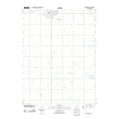
2011 Map of Minden South
USGS Topo · Published 2011About this map
Minden anchors the northern edge of this agricultural landscape in Kearney County, where the street grid gives way to the rectilinear patterns of the Nebraska plains. The local geography is defined by the winding course of the Little Blue River as it moves southeast, eventually joining the South Branch Sand Creek near the Warp Reservoir. Managed water resources are central to this area, evidenced by both the Warp Dam and the Hubert Reservoir further north. For those researching local history or genealogy, the map identifies key community sites such as the Minden Post Office and two significant burial grounds: the Minden Prairie Cemetery and the Free Mission Cemetery. The area is organized by a strictly defined network of rural roads, including C Rd, K Rd, and L Rd, which facilitate movement between these scattered landmarks and water features.
Find a feature on this map
27 named features on this map. Tap any name to fly to it.
Don’t see what you’re looking for? This feature index may not catch every label — zoom into the map to look around manually.
Map Details
Editions of this 2011 Minden South Map
This is the sole edition of this map. No revisions or reprints were ever made.
Other maps of this area

1894 · Kearney
USGS Topo · 1:62,500

1894 · Minden
USGS Topo · 1:62,500

1896 · Holdrege
USGS Topo · 1:125,000

1896 · Kearney
USGS Topo · 1:125,000

1896 · Wood River
USGS Topo · 1:125,000

1897 · Red Cloud
USGS Topo · 1:125,000

1955 · Grand Island
USGS Topo · 1:250,000

1957 · Grand Island
USGS Topo · 1:250,000

1958 · Grand Island
USGS Topo · 1:250,000

1969 · Upland
USGS Topo · 1:24,000